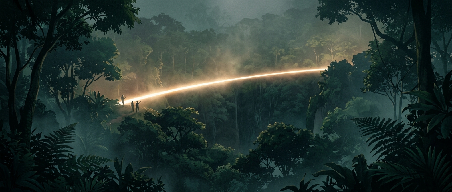
Where the Equator Enters the Forest
Across central Africa, the Equator cuts through the Congo Basin, a vast region of tropical forest spanning several countries. On a map, its path is a clean line; on the ground, it may pass beneath a layered canopy of trees, where vines, wet leaves, and narrow trails can obscure the landscape around a traveler.
The forest’s heat and moisture have a physical cause. Near the Equator, strong sunlight warms the surface, and moist air rises, helping produce frequent rain. Trees return water to the air through their leaves, so the forest helps sustain the humid conditions that shape it. The result is not simply a hot place, but an environment where rain, dense growth, and damp ground can make even a short walk feel demanding.
A Line You Cross, Not One You See
The Equator is an imaginary circle around Earth, not a stripe painted across the forest. A sign or monument may mark a measured crossing where roads or settlements make access practical, but away from such markers, there is usually no visible boundary between the Northern and Southern Hemispheres. The transition is geographic, not a sudden change in the trees or weather.
That contrast makes the crossing memorable: a precise line on a map becomes a real journey through an ecosystem that does not announce where one hemisphere ends and the other begins.