A league measured a journey, not a ruler
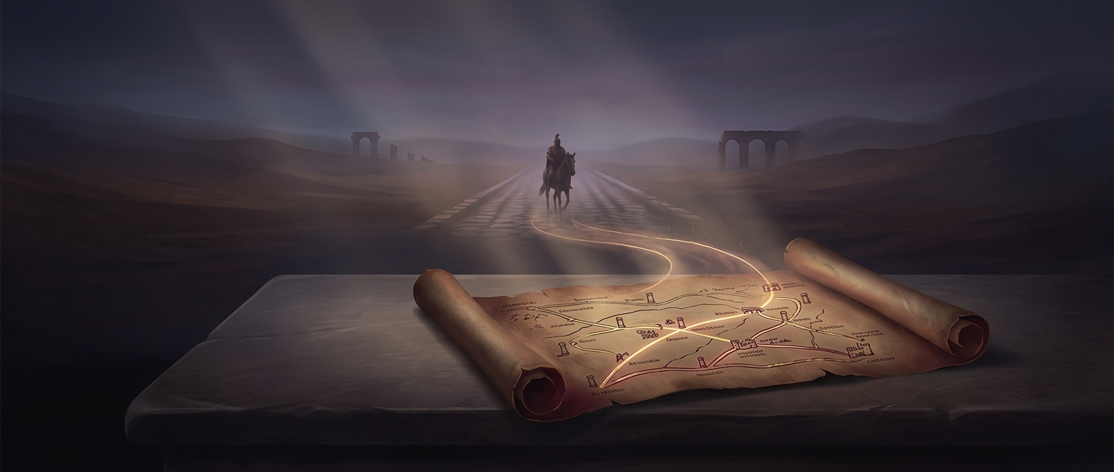
Before reliable maps and standardized road distances, people often needed a practical answer to “How far is the next place?” A league offered one: roughly the distance a traveler could cover on foot in an hour. It translated distance into time and effort—useful when the road itself mattered more than a precise number of yards.
But an hour’s walk was never a fixed unit. A level, dry road allowed a faster pace than a steep or muddy track; a loaded traveler moved differently from someone walking light. So the league could vary from place to place and even from one journey to another. It was a working estimate, not a promise of exact arrival time.
Why the word outlasted the walk
As governments and mapmakers increasingly used standardized measurements, “league” also came to mean particular fixed distances in some places. Those definitions were not universal, so the word in an old travel account or on a map may not convert neatly into one modern distance.
The original idea still gives the unit its human scale: a league described a stretch of travel by the time and exertion it demanded. Two destinations equally far apart on a map could feel like very different leagues if one route climbed hills or bogged down underfoot.