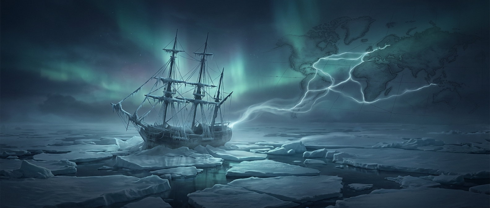
How a failed search opened Arctic waterways
The vanished ships mattered not only because they carried crews into danger, but because finding them required later navigators to enter the same poorly charted region. Their searches turned an urgent rescue effort into repeated voyages through Arctic seas and along unfamiliar shores.
The hoped-for prize was a navigable route linking the Atlantic and Pacific through the northern islands of North America. A ship could not simply follow a line on a map: ice could block a channel, force a detour, or trap a vessel for a season. Searchers therefore had to inspect coastlines, test passages, and record where water connected—or did not connect.
What the searches left behind
Even when a search party found no trace of the missing ships, its observations could make the next journey less of a guess. Charts accumulated details about islands, inlets, and channels. Each expedition might narrow uncertainty about where a passage ran, even if it never established that ships could travel it reliably.
That distinction mattered. A mapped channel was not automatically a practical trade route; seasonal ice and difficult conditions could make navigation perilous. But the search voyages changed what Europeans knew about the Arctic. The crews disappeared from view, while the coastlines and waterways encountered in the effort became part of the map—and clues for the navigators who came after.