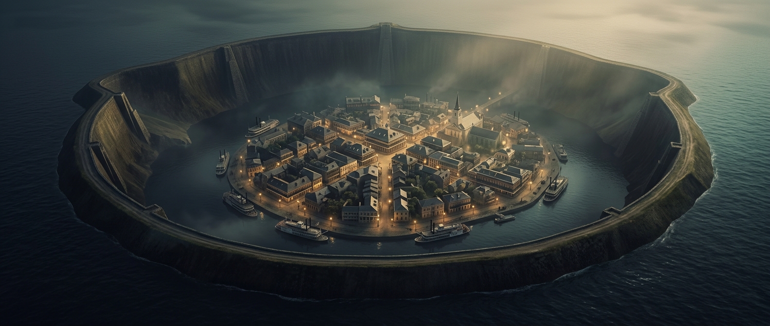
A city built between higher ground and a low basin
New Orleans is not uniformly below sea level. Its oldest settlements grew on relatively high ground beside the Mississippi River, where repeated floods had deposited sediment in raised natural banks. As the city expanded, it spread into lower marshland between the river and Lake Pontchartrain. Much of that developed basin now lies below sea level, though elevations vary from neighborhood to neighborhood.
Why water has to be managed
In low areas, rain cannot simply run downhill to the river or lake. The city relies on drainage canals and pumps to move stormwater out, while levees and floodwalls help hold back water from the Mississippi, Lake Pontchartrain, and surrounding waterways. These systems make dense settlement possible, but they also mean that heavy rain can become a serious problem if drains are overwhelmed or pumps and protective barriers are compromised.
The ground itself can also sink over time. Soft delta soils compact naturally, and changes to wetlands and waterways have reduced some of the landscape’s ability to buffer floods. New Orleans’s low elevation is therefore not just a map detail: it shapes where the city grew and why managing water remains part of everyday urban life.