Why the Island Count Keeps Growing at the Edges
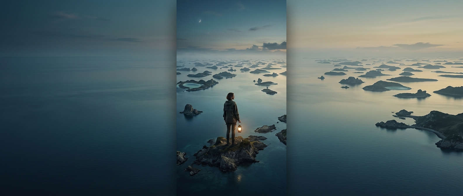
An island may be easy to picture—a substantial piece of land surrounded by water—but counting every one is a different problem. A detailed map can reveal tiny rocky outcrops, low sandbars and reef tops that a small-scale map leaves out. The more closely coastlines are measured, the more of their small features come into view.
There is no single universal cutoff for what qualifies as an island. Some distinctions depend on whether a patch of land stays above water at high tide, how large it is, or whether it is naturally formed. Those choices matter most around shallow coasts and reefs, where a feature may be exposed in one set of conditions and submerged in another.
Islands Are Made—and Remade—by Different Forces
Some islands are built by volcanoes rising from the seafloor; others are coral structures, pieces of continents, or deposits of sand and sediment. Their different origins help explain why an island can be a steep volcanic peak, a low reef, or a shifting strip of sand. Waves, storms and changing sea levels can reshape or cover small features, so a map records a particular view of a changing landscape.
For travelers, that means “island” does not necessarily mean a place with beaches, roads or even a reliable landing spot. Many counted features are little more than bare rock or a shallow-water outcrop. The striking part of the total is not just how many places could be called islands, but how much depends on looking closely—and deciding where land ends and water begins.