A border drawn across bare Arctic rock
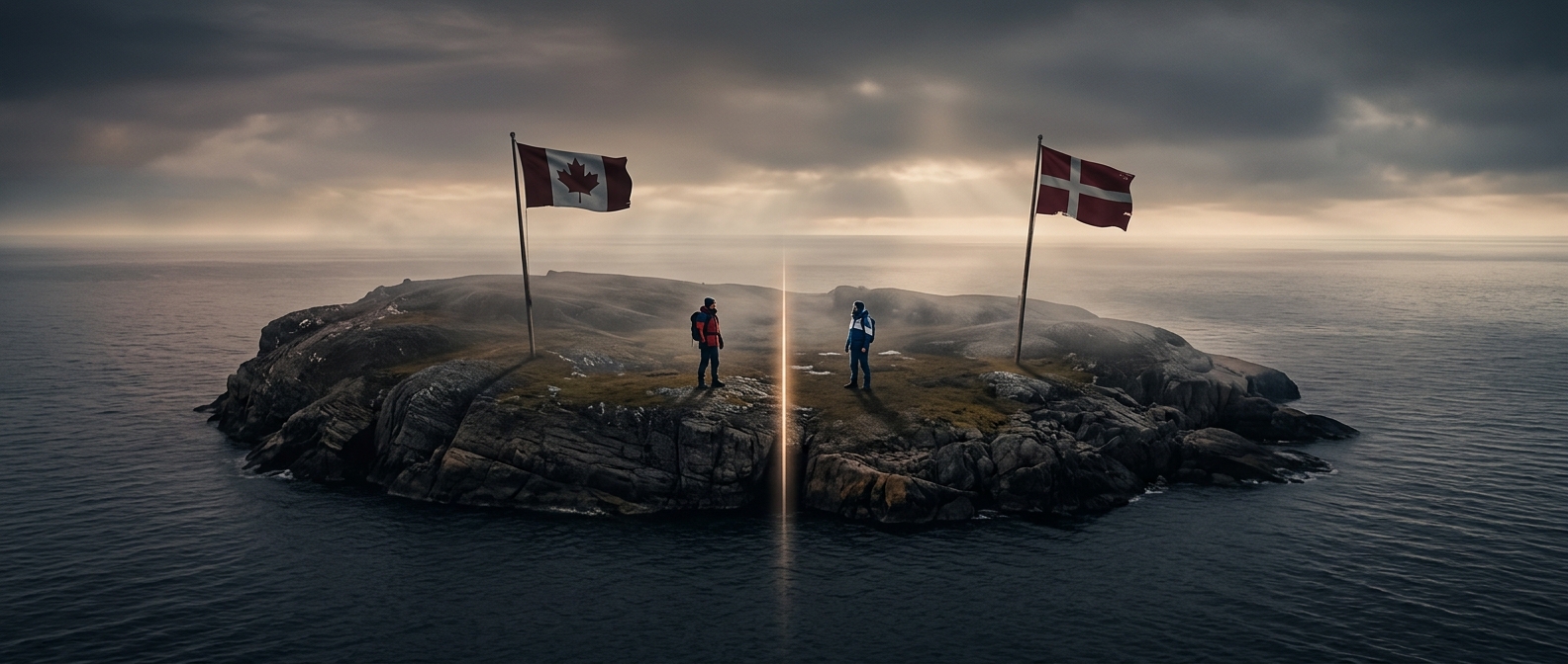
Hans Island lies in the narrow Nares Strait between Canada’s Ellesmere Island and Greenland. It is small and uninhabited, but its position mattered: the two shores belong to different countries, and the island sat between them. Greenland governs itself in many domestic matters but remains part of the Kingdom of Denmark, so the settlement created a land boundary between Canada and the Danish realm.
In 2022, the countries agreed to divide the island with a boundary running across it. The line turns a long-running question of sovereignty—who owns the territory—into a precise map boundary. It also fits into a wider effort to settle where the two countries’ Arctic jurisdictions meet, without treating the remote rock as a prize worth fighting over.
A dispute handled with flags, not force
The island was left unresolved when Canada and Denmark negotiated a maritime boundary in 1973. In the years that followed, officials from both sides visited, raised their flags, and left bottles of their countries’ spirits. The gestures became a lighthearted ritual, but the underlying issue was real: each government was asserting sovereignty over territory in the Arctic.
The island’s remoteness made a practical border less important than a clear one. A settled line reduces uncertainty about which country’s authority applies there and removes a small source of friction as Arctic borders receive more attention. On a map, the result is strikingly simple: a land border crosses an island where almost no one lives, linking Canada to Greenland—and, through Greenland, to Denmark.