A U.S. town on the far side of the border
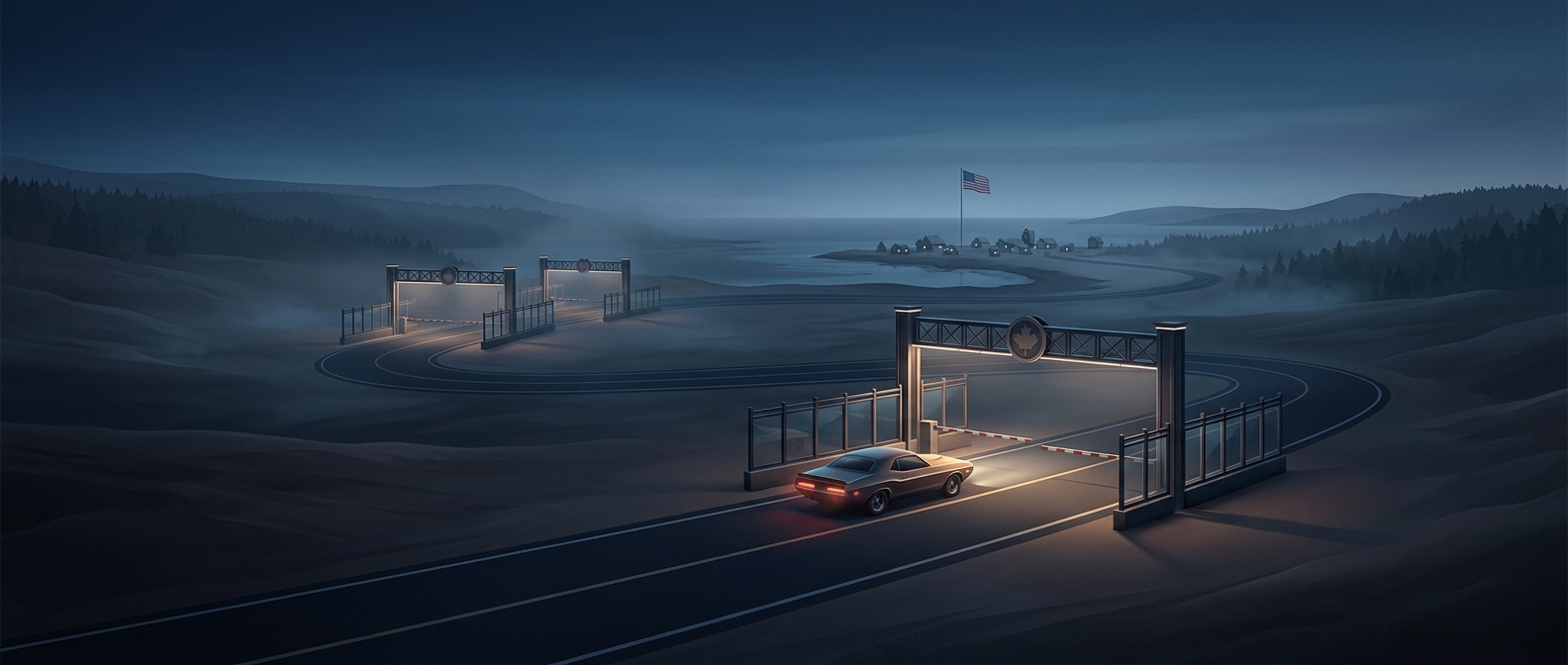
Point Roberts is a small piece of Washington State that extends south from Canada’s Tsawwassen peninsula. The 49th parallel—the boundary between the United States and Canada across much of this region—cuts across the peninsula, leaving Point Roberts on the American side while the land connecting it to the rest of Washington remains north of the border.
That geography makes the town feel like an island, though it is attached to the mainland. By road, a trip to nearby parts of Washington requires driving north into British Columbia, then turning south through a second border crossing. The alternative is to travel by boat or plane.
Why the border takes this unusual shape
The boundary was set along the 49th parallel in the nineteenth century, before the modern road network made everyday crossings routine. At this point on the coast, the straight line runs through a peninsula rather than following its shoreline. The result is a narrow American outpost surrounded on three sides by water and separated from the rest of its state by Canadian territory.
For residents, the map becomes a practical part of daily planning. A drive to another Washington community is not simply a longer trip; it involves leaving the United States and re-entering it. Point Roberts’ location is a reminder that political borders can divide land in ways that look awkward on a road map but follow a simple line of latitude.