Why a Border Meeting Point Needs a Marker
A tripoint is the point at which three boundaries meet. On a map, it may look like a clean dot; on the ground, the borders may follow a river, ridge, or surveyed line that is not visible. Surveyors use coordinates and agreed boundary descriptions to locate the meeting point, then a stone, post, or other marker can make that position easier to identify.
The marker is a reference, not the border itself. Its placement reflects the legal and surveying work behind the boundaries, and the surrounding landscape can make the exact point less obvious than a map suggests.
One Spot, Three Jurisdictions
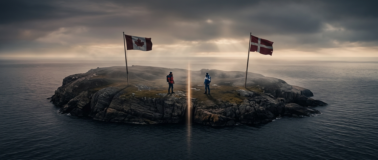
At an international tripoint, each direction leads into a different country. That can matter for land management, access, and which authorities have jurisdiction nearby. The point itself does not necessarily function like a staffed crossing: a marker may stand in an open landscape, while rules about crossing depend on the location and its borders.
That is why a seemingly ordinary rock or pole can carry unusual significance. It turns an abstract agreement on a map into a place a visitor can find—and where a small step can put them on the other side of a boundary.