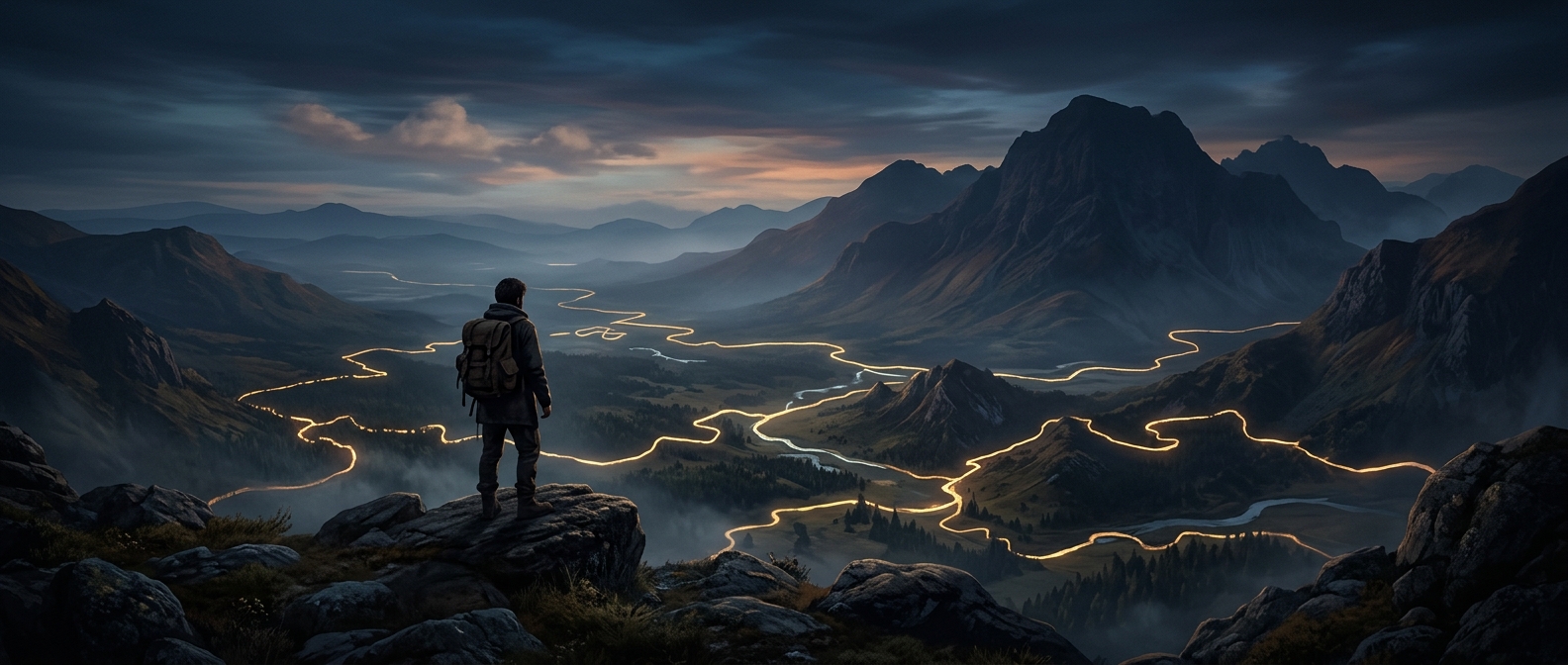
When a Map Line Becomes a Border
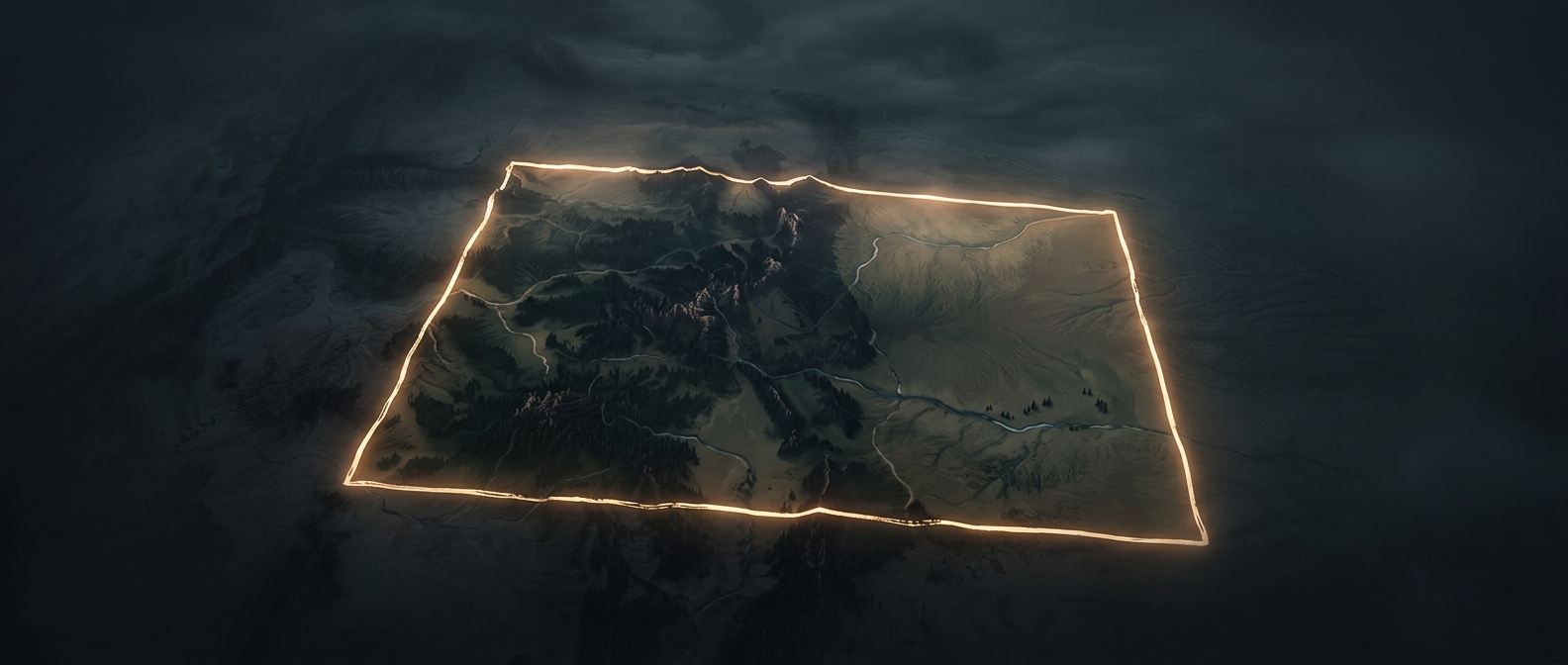
A ruler can make a border look simple: one clean stroke across a blank space. The ground beneath it is rarely blank. A straight line may cross a river, a grazing route, a village’s farmland, or a landscape whose residents have long moved through it without treating it as divided.
In some cases, officials negotiated boundaries from maps and written descriptions rather than walking the terrain. Maps made distant territory easier to divide and administer, but their neat lines could hide local geography and established patterns of life. “Arbitrary” does not necessarily mean that no one made a decision; it can mean the decision reflected administrative convenience more than the way people used the land.
The Line Has to Work on the Ground
Once a boundary is accepted, it becomes more than ink. Governments may use it to decide where laws apply, who collects taxes, and which country’s officials control a road or crossing. The border may be marked with posts, fences, checkpoints, or simply treated as a line on official maps. Its practical force comes from the institutions that enforce it, not from anything visible in the landscape itself.
That can create awkward divisions. A straight boundary might separate homes from fields or place a familiar route under new rules. People can find themselves needing permission or documents to cross ground that had once been part of an ordinary journey. At the same time, borders can acquire local meaning over generations, shaping identity and everyday routines even when their original placement seems distant or abstract.
Not Every Border Is a Ruler Line
Some boundaries follow rivers, mountain ridges, or coastlines; others reflect wars, negotiations, older settlements, or later adjustments. Even a natural feature can be disputed or shift over time. The map’s clean stroke is therefore only the visible result of a larger process: people and governments deciding where one jurisdiction ends and another begins.
For a traveler, a line that looks almost casual on a map can determine which language appears on a road sign, which rules apply at a crossing, and how far a routine trip suddenly has to detour.