A rectangle drawn by people, not a ruler
Colorado’s outline was meant to follow broad north–south and east–west lines. But drawing those lines across the landscape required surveyors to locate positions and mark boundaries in the field, long before GPS could pinpoint a location. Small errors in measurement and alignment accumulated, so a boundary intended to be straight could shift slightly as it crossed the ground.
A survey line was also a sequence of measured stretches between marked points, not a perfectly continuous stroke. Where one stretch ended and the next began, even a modest mismatch could leave a small bend. Repeated around the state, those little jogs made the legal border less geometrically tidy than its familiar map outline suggests.
Tiny bends, one lasting boundary
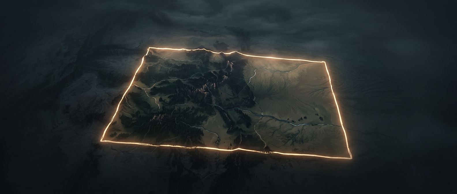
The irregularities are generally small enough to disappear at ordinary map scale. Zoom in, though, and the border becomes a chain of short segments rather than four flawless sides. The reported count of about 697 sides reflects those many changes in direction—not hundreds of dramatic notches in the landscape.
That distinction matters: the boundary is not merely a sketch that can be smoothed into a perfect rectangle. Surveyed lines and their marked points established where Colorado ends and its neighbors begin. The state’s near-rectangular shape is the plan; its fine zigzags are the record of how that plan was laid out on the ground.