A paper map makes the landscape part of the puzzle
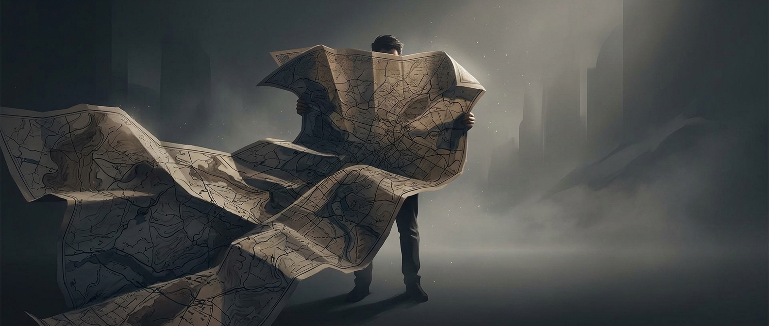
With a phone, navigation usually arrives as a sequence of instructions. A paper map asks you to build the route yourself: find a starting point, trace roads or trails, and connect the symbols on the page to what you can see around you. A fork in a path becomes a small test—does the map’s bend, stream, or cluster of buildings match the view?
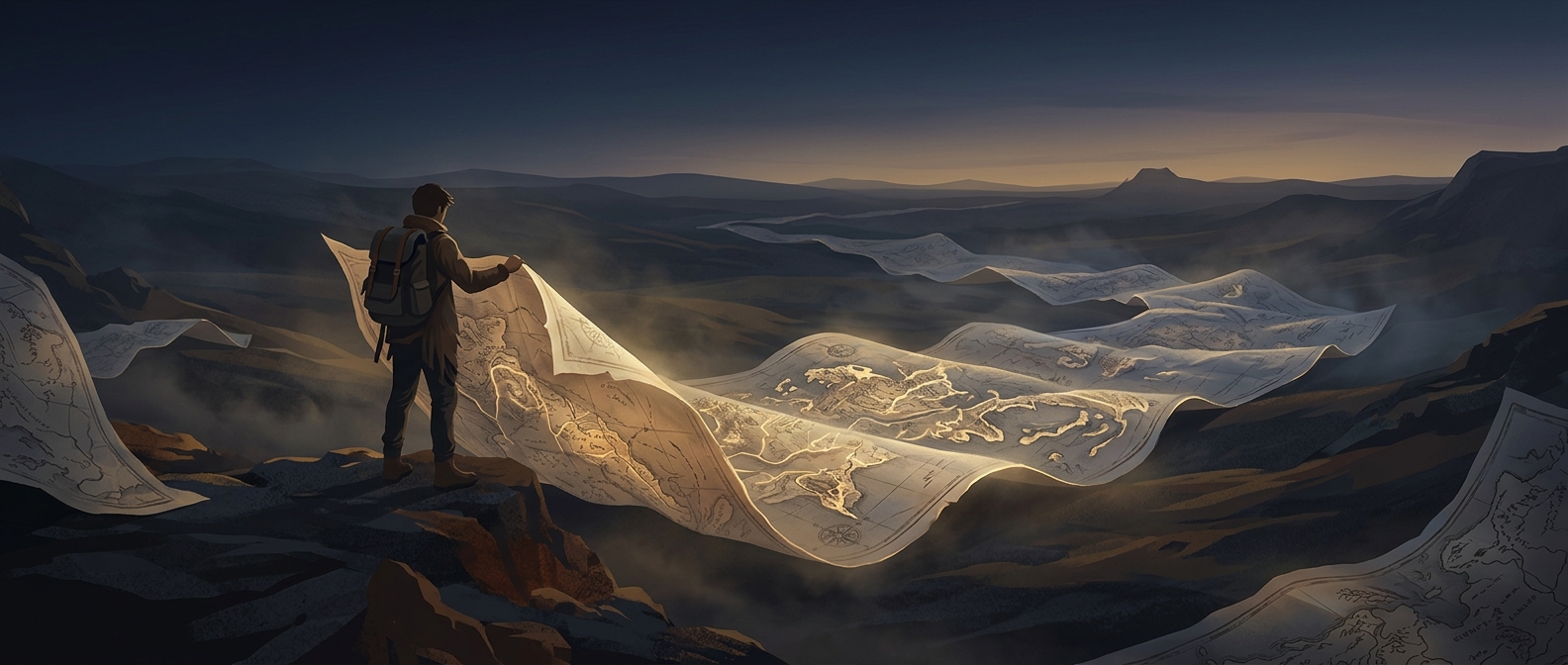
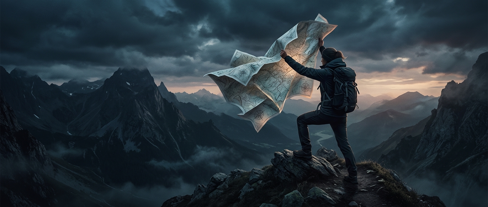
That comparison gives the journey a different rhythm. You may notice the next ridge or crossroads before you reach it, then revise your sense of where you are as the scenery changes. The map is not merely telling you where to turn; it is a model you keep checking against the real terrain.
The inconvenience is part of the appeal
A large map can be awkward to handle, and its scale means it cannot show every detail at once. You have to find the right area, keep track of which way the page faces, and refold it without losing your place. Those small decisions make navigation feel like a task you are carrying out, rather than a service running in the background.
The reward is a more legible sense of the whole trip: where a detour leads, how far a landmark sits from the route, and what lies beyond the next turn. When the map finally goes away, you may remember not just the destination, but the moment you recognized the landscape on the page.