A map made by changing the camera
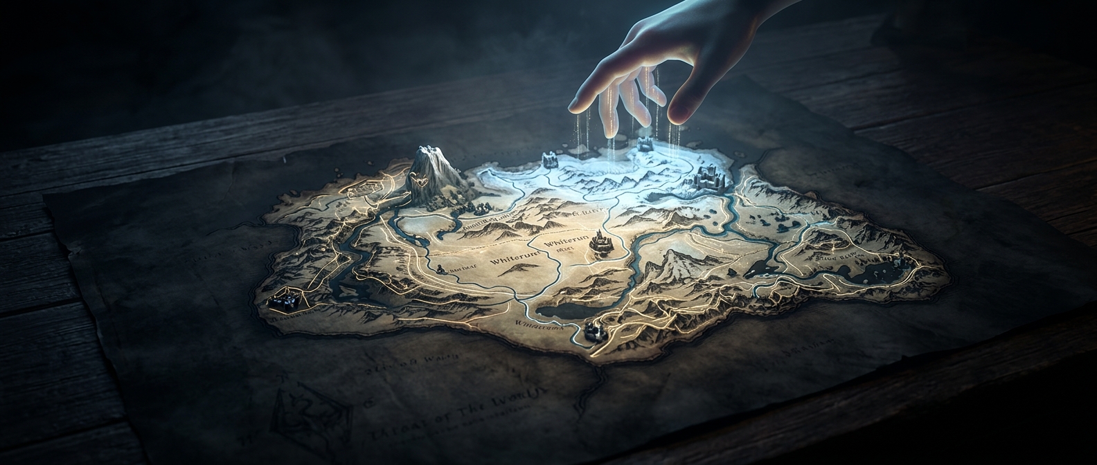
Skyrim’s world map is not simply a flat illustration of the province. It presents the game’s three-dimensional landscape from high above: the camera pulls back and looks down over terrain the game has already built as a navigable world. Mountains, valleys, roads, and settlements therefore appear as parts of the landscape itself, rather than as symbols placed on a separate sheet.
That choice makes the map feel like another view into the same place you explore on foot. As you pan or zoom, you are looking across the game world from a different height and angle, not switching to an entirely separate diagram.
Why a dragon can show up
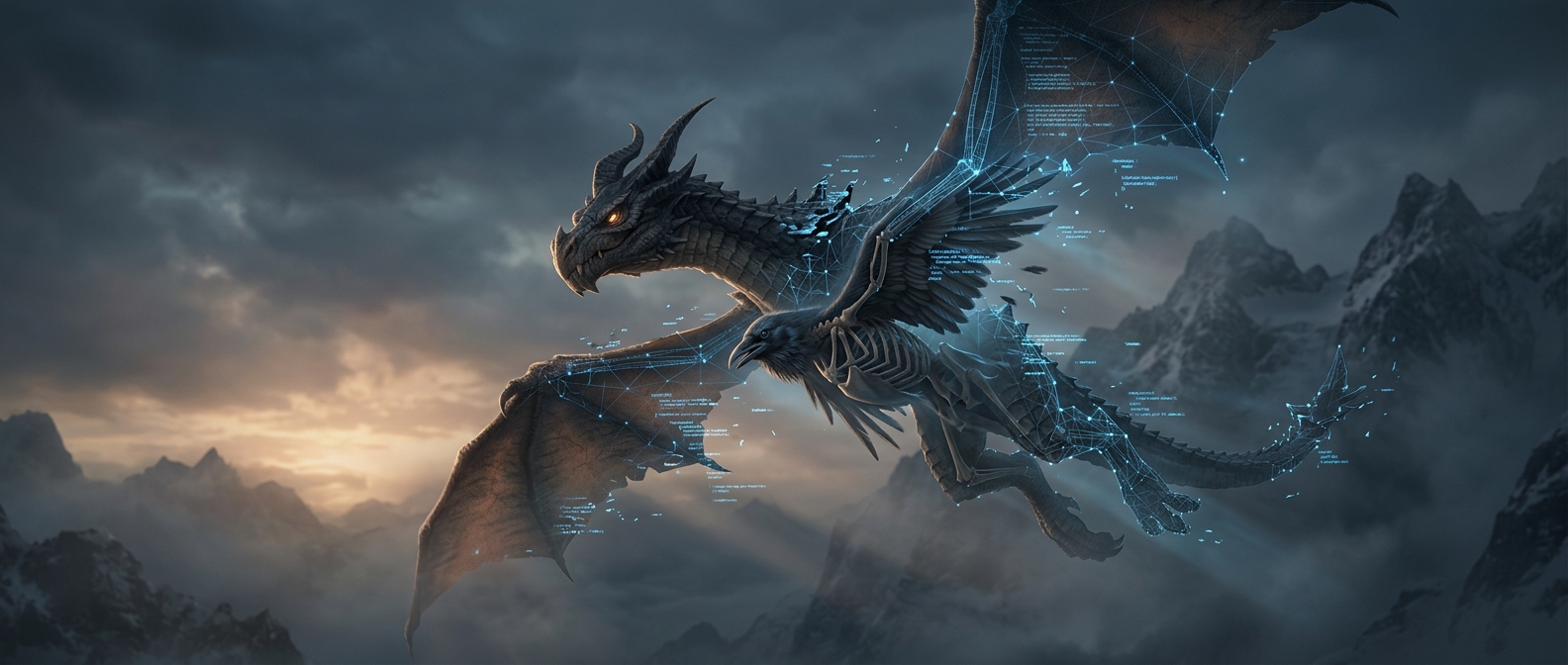
Because the view is tied to the world, a moving creature can enter the map camera’s view. A dragon flying below the camera may be visible as you look over the terrain and choose a route to Whiterun. It is a small but telling consequence of treating the map as a view of the landscape rather than a static reference image.
The approach also gives the map a distinct tradeoff: it can show the world’s shape and activity directly, but it may be less like a clean, abstract road chart. Planning a trip means reading the actual terrain—and, occasionally, noticing that the world has not stopped being alive just because you opened the map.