How a camel carried Street View through Liwa Oasis
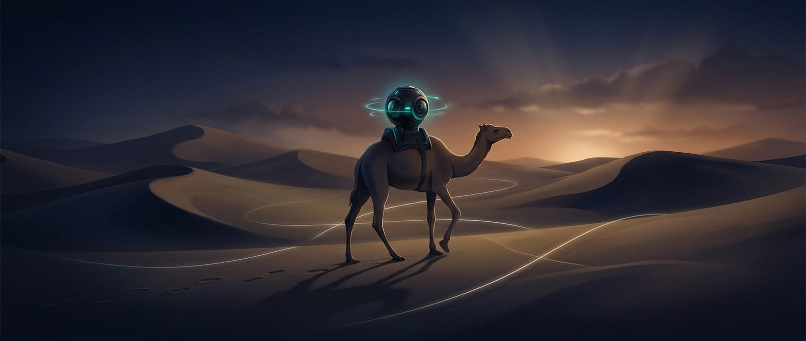
A Street View car can photograph roads, but an oasis is not simply a road with sand around it. In Liwa, palm groves, paths, and desert terrain call for a camera platform that can travel where a car cannot. For this mapping trip, Google adapted its portable Trekker camera for a camel rather than relying on a vehicle.
Turning a journey into a panorama
The Trekker records images in many directions as it moves. Software later combines those views into 360-degree panoramas, letting someone online look around from points along the route. The camera’s position also has to be recorded so each panorama can be placed on the map. Instead of photographing the oasis from a single overlook, the moving setup could gather views along its passage through the landscape.
Mounting the equipment on Raffia made the animal part of the imaging system: its pace and route determined where the camera could go and what it could see. That is a different kind of mapping than sending a car down a street. It trades the steady, road-based coverage of a vehicle for access to places shaped by footpaths and sand.
Why the method matters
Street View imagery is often associated with urban streets, but the camera is portable enough to be adapted for settings that do not fit the usual car-based approach. Liwa’s map was made possible by matching the platform to the terrain. The result lets remote viewers look around an oasis from ground level—not just see its outline from above.