Why Meridians Converge at the Poles
On a sphere, “straight ahead” means following a great circle: a path that lies on the sphere’s surface and divides it into two equal halves. A longitude line, or meridian, is half of one such circle, running from pole to pole. Meridians that cross the equator at different points therefore share both poles as endpoints.
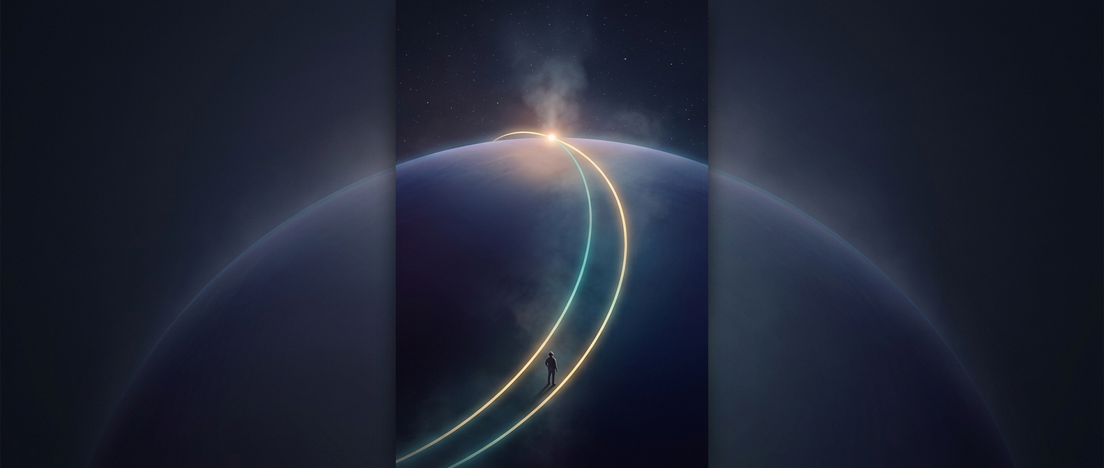
Near the equator, two meridians can look like separate northbound routes that keep their bearings. But as they continue, the curved surface leaves them less room to remain apart. Their distance narrows until they meet at the pole. They have not bent toward each other like roads turning on a flat map; the geometry of the globe makes their paths converge.
The Difference Between a Globe and a Map
On a flat sheet, Euclidean geometry says that distinct parallel straight lines never intersect. A globe follows different rules: its surface is curved, so “straight” paths traced along it need not behave like lines on paper. Flattening the globe into a map also distorts some combination of shape, distance, or direction, which can make the meridians’ convergence look less intuitive.
The effect has a practical consequence for navigation. At the equator, meridians are farthest apart; toward either pole, the east–west distance between them shrinks. At the pole itself, every direction away from the point is south (or north at the other pole), and longitude no longer picks out a distinct direction. That is why the lines that seem to head north independently eventually arrive at the same place.