How satellite observations become route choices
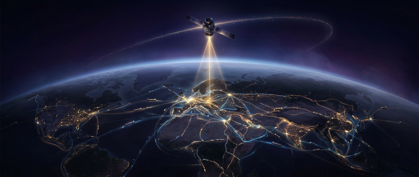
A ship’s shortest path on a map is not always its cheapest. Currents can push a vessel along or against its course, while storms and rough seas can force detours or slow travel. Satellites help build the changing picture that route planners need: instruments measure features such as sea-surface height, temperature, and winds, and ocean models use those observations to estimate currents and conditions between measurements.
The satellite does not choose a route by itself. Forecasts are combined with a vessel’s position, speed, fuel use, destination, and operating limits. A planner can then weigh a longer path through favorable conditions against a shorter path that may take more time or fuel. Small improvements matter because ships consume fuel throughout a voyage, and delays can disrupt schedules at ports and downstream deliveries.
The same logic reaches inland networks
Satellite images also show changes on land—such as flooding, damaged roads, or shifting shorelines—that may affect access to ports, warehouses, and transport corridors. Companies can use updated maps and hazard information to revise routes or plan alternatives before a disruption becomes a costly surprise.
The savings come from better decisions across many linked trips, not from imagery alone. Satellite data reduces uncertainty; forecasting systems and logistics planners turn it into action. At network scale, avoiding repeated detours, wasted fuel, and missed connections can add up to substantial costs avoided.