How a map turned uncertainty into an island
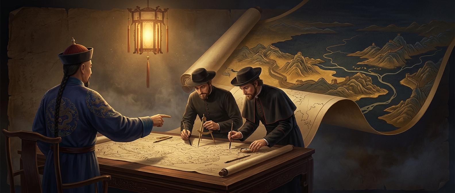
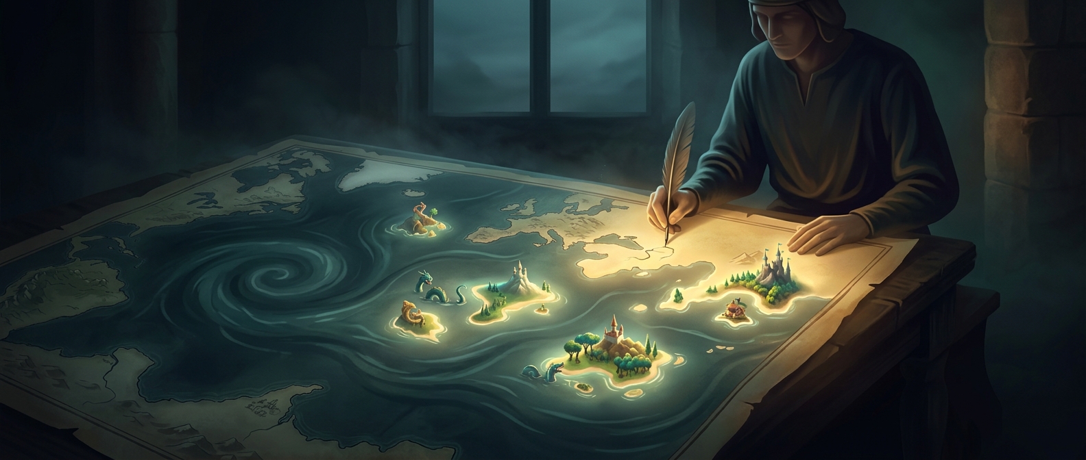
Before coastlines were systematically surveyed, mapmakers often had to assemble geography from travelers’ reports, older charts, and secondhand descriptions. A sketch or a rumor could be difficult to verify across an ocean. Once printed on a map, though, a possible place acquired a precise outline—and later mapmakers could copy that outline as if it were established fact.
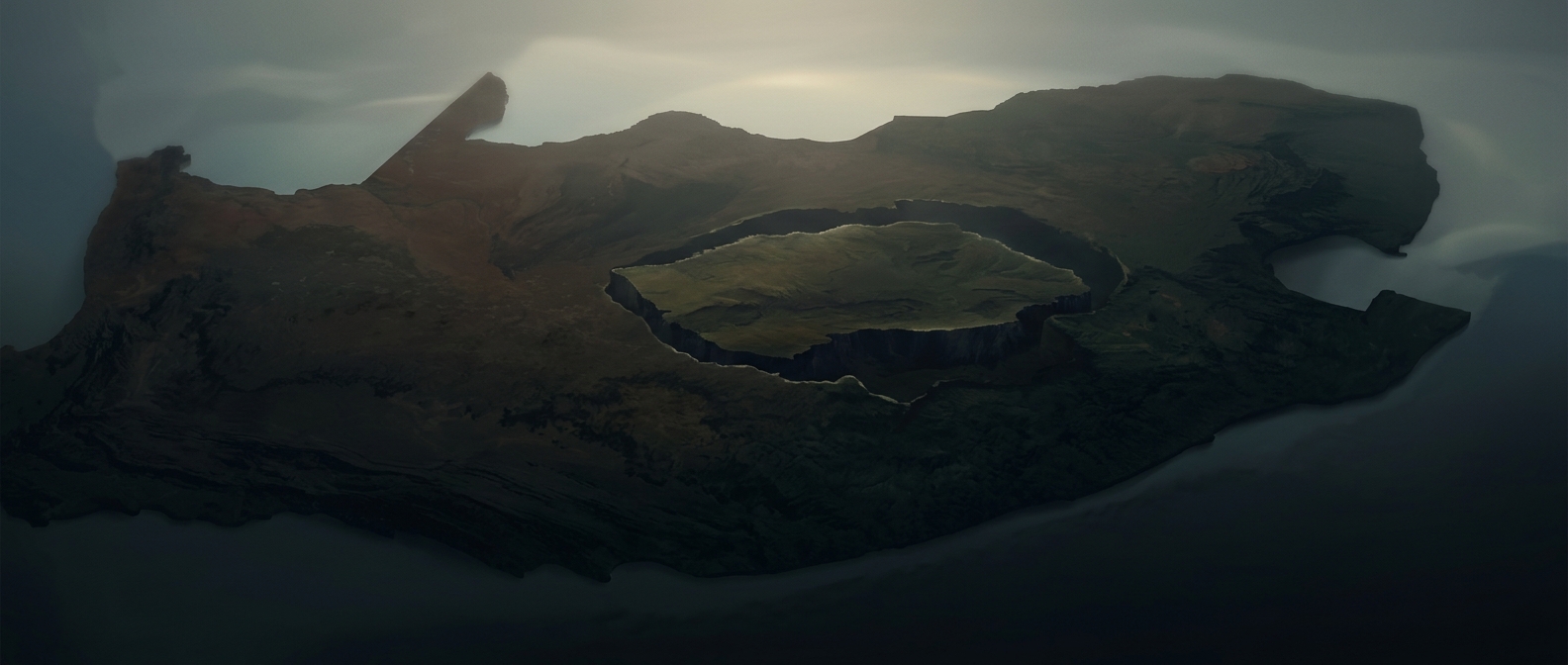
California shows how a real place could become a phantom island through a mapping error. Some early maps depicted the long peninsula as separated from the North American mainland by water. The island was not invented from nothing; the mistake was the imagined channel. Maps repeated the island shape, and correcting it required better geographic evidence than simply noticing that one chart disagreed with another.
Hy-Brasil and the pull of a blank sea
Hy-Brasil was different: a legendary island placed in the Atlantic west of Ireland. It appeared on maps despite being elusive, with accounts associating it with rare sightings or with a tendency to vanish. Such stories could help explain why a search came back empty without forcing mapmakers to erase the island altogether.
For sailors, a mapped destination was more than decoration. It could influence where a voyage looked for land, especially when a chart offered few reliable alternatives. But finding a supposed island depended on its location being right—and on the island existing at all.
The lasting lesson is that an old map records not just coastlines, but degrees of belief. A confident boundary might represent a survey, a copied mistake, or a story that had never been tested at sea.