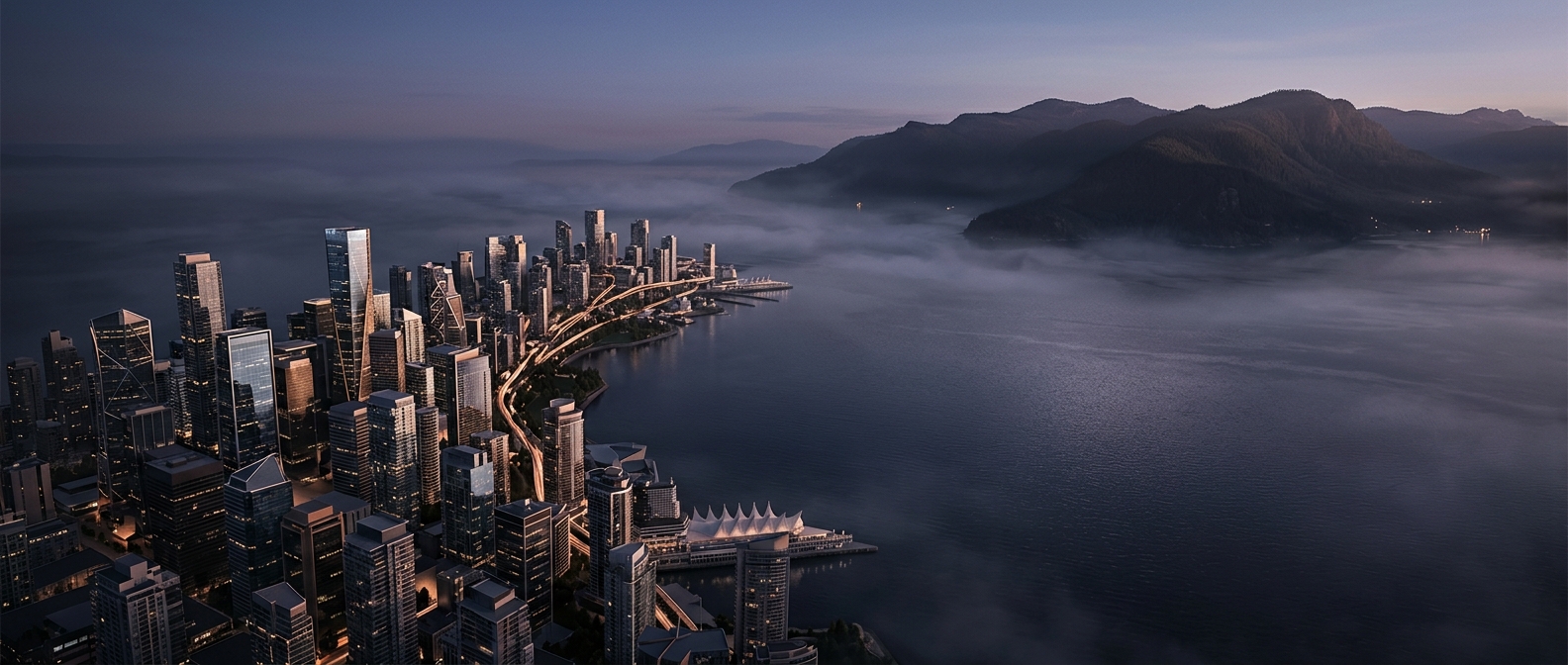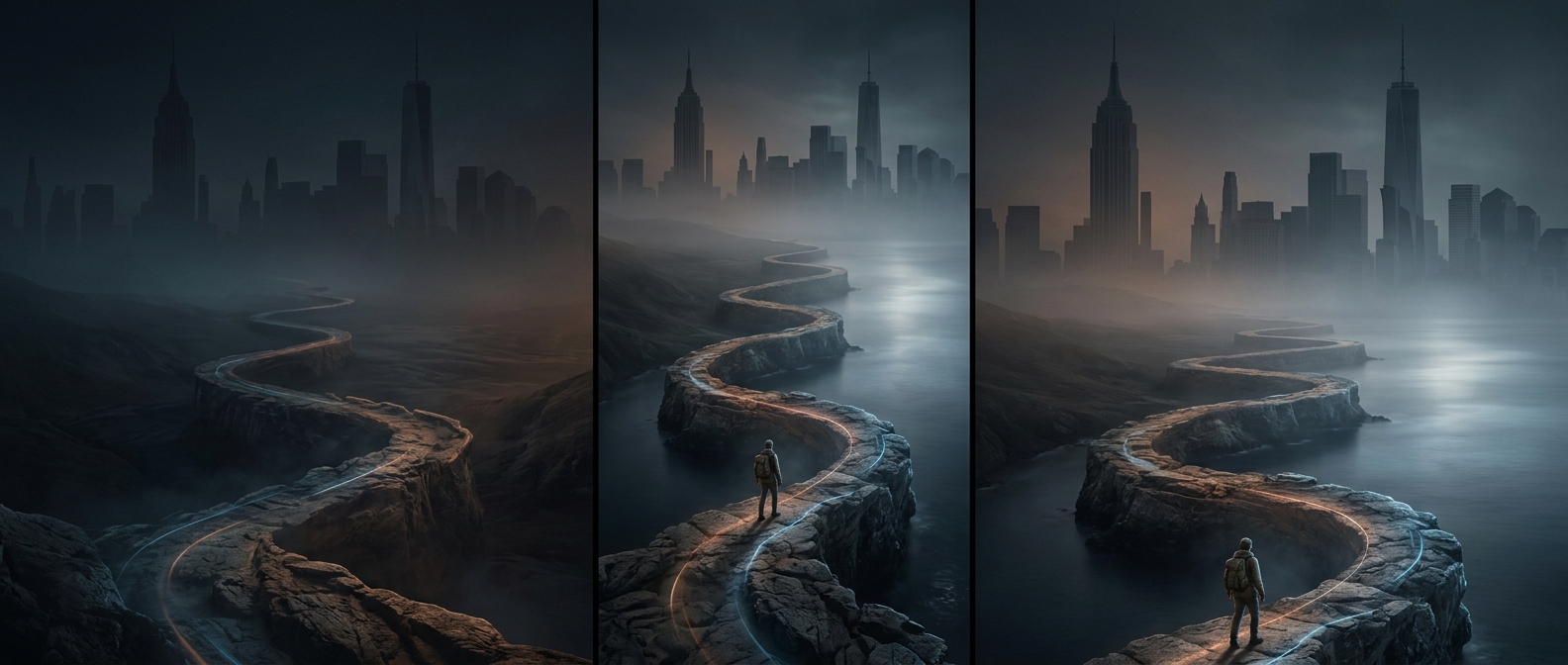
A shoreline shaped by inlets and islands
New York City’s coastline is not one smooth arc facing the ocean. Its five boroughs wrap around a network of waterways: the Hudson River, the tidal East River, New York Harbor, Jamaica Bay, and the waters bordering Staten Island and the Bronx. Islands, coves, bays, and narrow peninsulas repeatedly bend that boundary, so tracing every turn produces far more shoreline than a map’s simple outline suggests.
“Coastline” includes more than beaches
A coastline can run beside a beach, but it can also edge a marsh, a rocky point, a seawall, a pier, or an industrial port. Much of the city’s waterfront has been altered by people: land was filled in, docks and bulkheads were built, and working waterfronts grew around sheltered harbor waters. The boundary’s length therefore reflects both natural geography and generations of construction.
Why the edges matter
The many bends create distinct relationships between neighborhoods and the water. A sheltered bay can support wetlands and small beaches; a harbor edge can accommodate shipping; a riverfront can become a park or a route for walking and cycling. These edges also leave the city with many places where high tides and storm-driven water can reach land. New York’s extensive coastline is not simply a measure of beach; it is the outline of a city built around water.