A Border Drawn Across a Strip of Sand
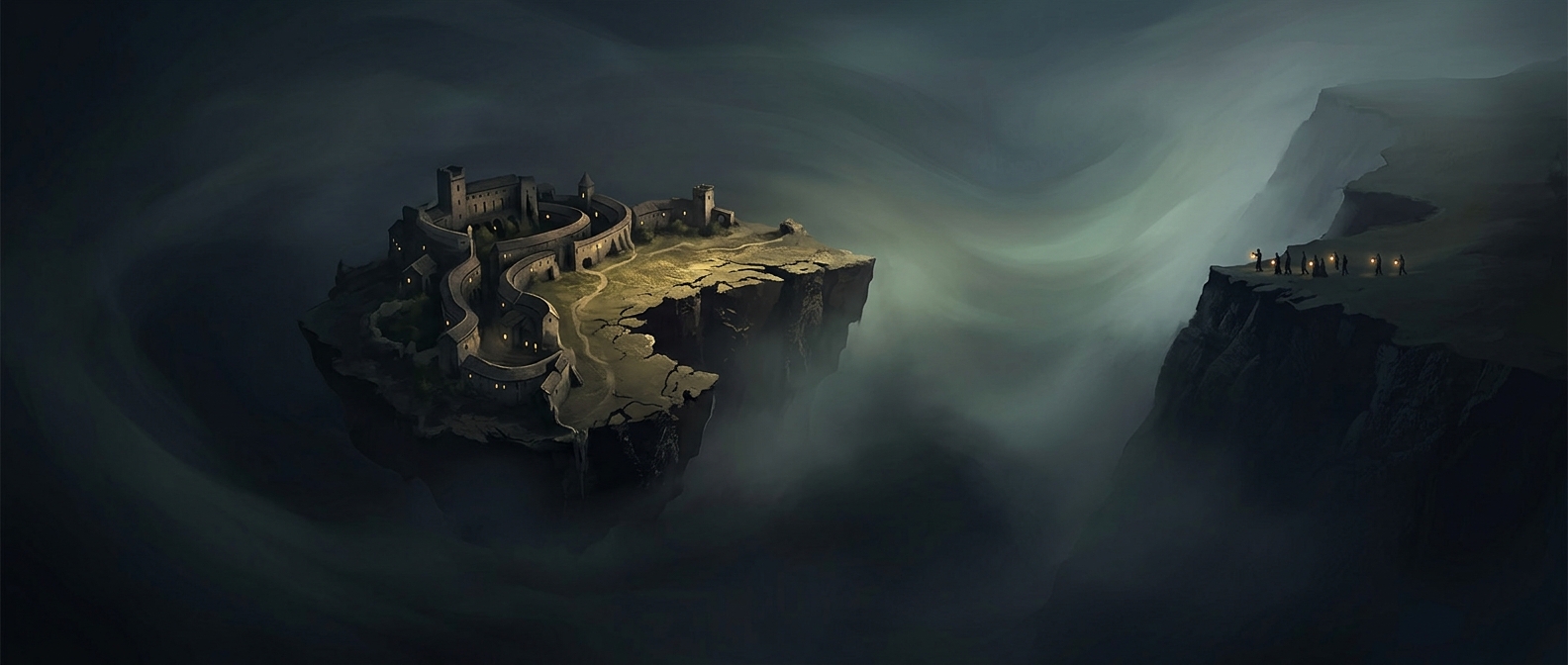
Peñón de Vélez de la Gomera is a steep rock just off Morocco’s Mediterranean coast. A narrow sandy neck joins it to the mainland, turning what was once an offshore outpost into a small peninsula. The international boundary crosses that neck: the distance from one side of the border to the other is only about 85 meters.
That makes the border unusually short, but not because two countries meet along a long stretch of ordinary countryside. Here, the entire land crossing is squeezed onto a tiny connection between rock and shore.
Why the Outpost Is Still Spanish
Spain maintains a military presence on the rock, which is one of several small Spanish-held territories along the North African coast. Its position is conspicuous: the outpost sits immediately beside Morocco rather than across an open sea. The strip of sand links the two landscapes physically, while the boundary marks that they remain under different national control.
The result is a place where a basic feature of geography—a narrow neck of land—sets the scale of an international border. On a map, the dividing line is barely more than a mark; on the ground, it spans the short sandy passage connecting the fortress to the coast.