
Travel
Why the International Date Line zigzags
HERE’S THE INTERESTING PART
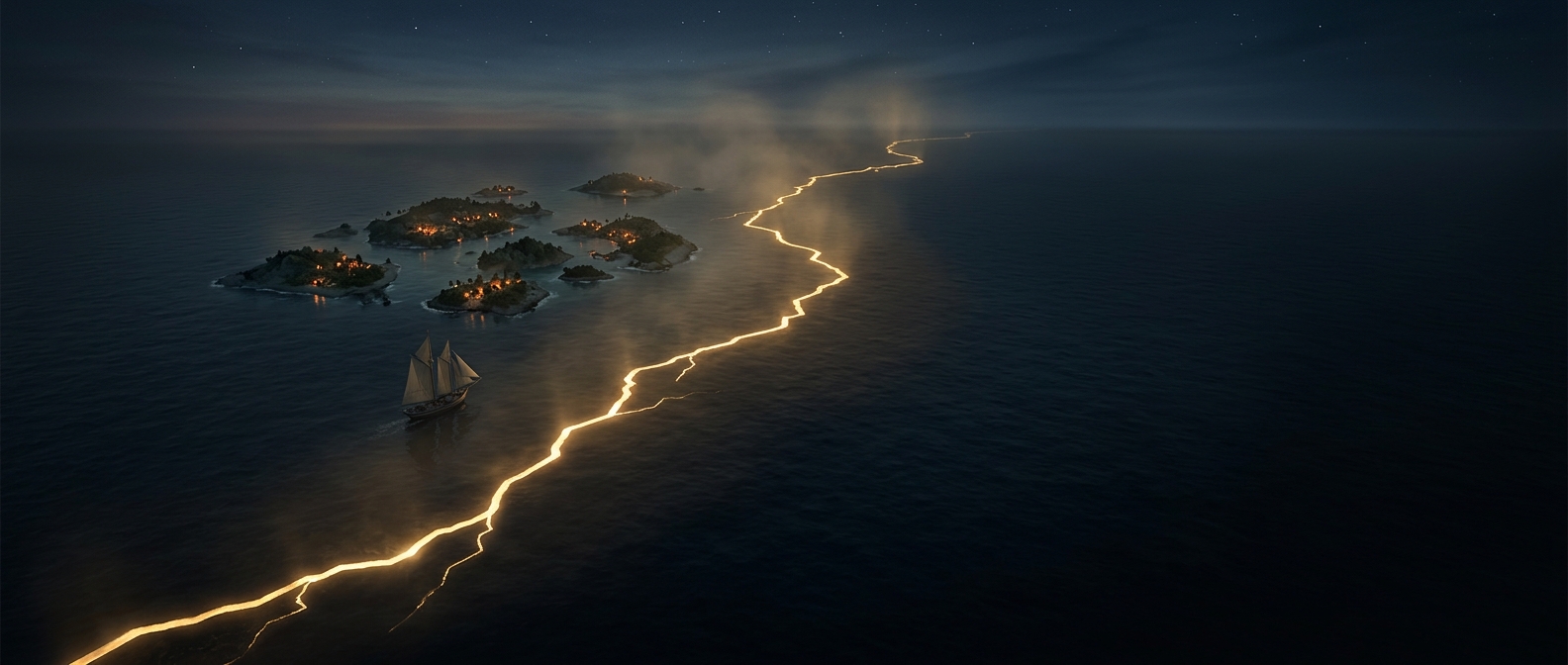
Rather than drawing a mathematically clean line down the globe, cartographers let politics completely ruin the map. The boundary dictating global days violently zig-zags across the Pacific Ocean specifically to prevent single sovereign nations from existing in two different calendar days simultaneously. The result is a temporal border that looks like it was drawn by a heavily caffeinated toddler.
One discovery leads to another.
Keep exploring facts in this topic.
Travel →