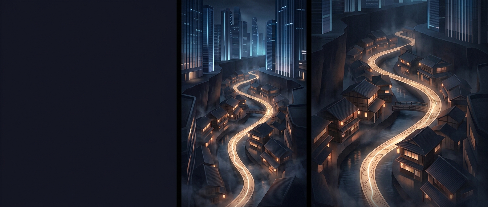
Why a Tokyo address may not trace a street
In many Tokyo neighborhoods, an address is organized around districts and blocks, not a numbered street. Streets may have names, but the address often identifies a neighborhood, a smaller section within it, and then a building number. That final number may reflect when a building was registered or added, rather than where it stands along the road.
As a result, two neighboring buildings can have numbers that seem out of sequence, while buildings with consecutive numbers may be some distance apart. The number tells you something about the block’s development history—not necessarily which direction to walk.
A map shaped by how neighborhoods grew
Tokyo’s urban fabric includes areas that developed gradually, with new buildings appearing on parcels over time. In systems where numbers are assigned as buildings are recorded, each new address joins the existing sequence; the numbering does not need to be rearranged to create a tidy street-by-street order.
That can make a conventional address search less intuitive than following house numbers along a road. The address narrows the destination to an area and block, but the last number may not pinpoint the building’s position by itself. A map pin, a nearby landmark, or local directions can supply the missing spatial clue.
The practical lesson is simple: in Tokyo, an address number can be a trace of when a place entered the neighborhood’s record, not a step along a route.