A papal line meant to head off a European rivalry
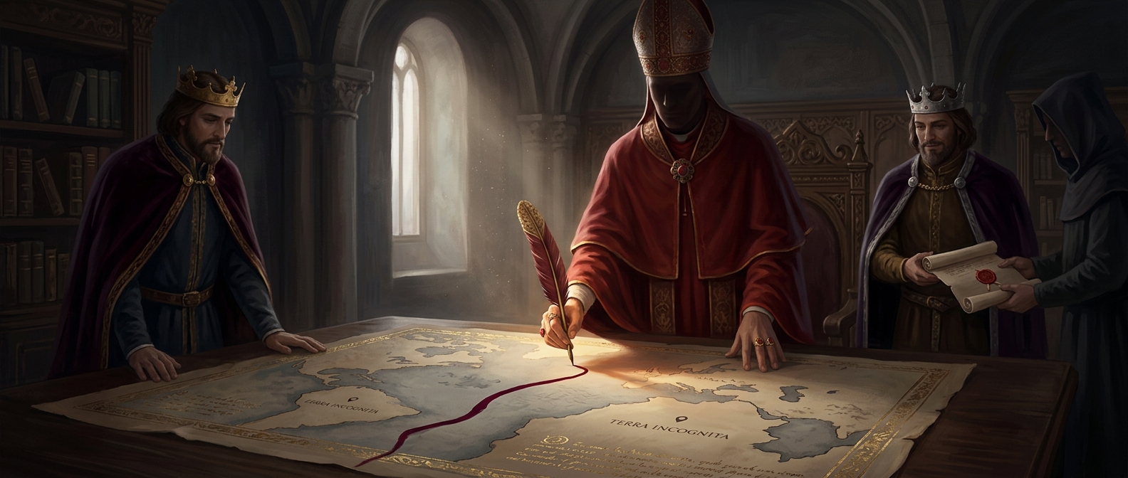
After Columbus’s first voyage across the Atlantic, Spain and Portugal both claimed rights to lands reached by sea. In 1493, Pope Alexander VI issued decrees backing Spanish claims and describing a dividing line in the Atlantic: lands west of it would fall within Spain’s sphere, while Portugal’s existing claims and routes to the east were protected.
The line was a diplomatic tool, not a boundary surveyed across known continents. European rulers had little knowledge of the Americas’ full extent, and the decree could not make distant coastlines—or the people living there—subject to papal control. It expressed a European Christian legal claim: the pope asserted authority to allocate rights among Christian crowns, not to consult the inhabitants of the lands being claimed.
Portugal negotiated the line westward
Portugal objected to the arrangement. The two crowns negotiated directly, and the 1494 Treaty of Tordesillas shifted the boundary farther west, placing more of the Atlantic on Portugal’s side. The agreement helped reduce the risk that their competing voyages would lead to war, while giving each kingdom a basis for challenging the other’s expansion.
The line was difficult to locate precisely at sea: its position depended on how distance from the Cape Verde Islands was measured, and Europeans lacked reliable ways to determine longitude. Still, the treaty’s division had a lasting geographic consequence. When Portugal later claimed Brazil, it could point to land on its side of the agreed boundary—an outcome that helped make Portuguese, rather than Spanish, rule dominant there.
A line drawn before Europeans understood the map did not settle who truly belonged to the lands beyond it. It shaped which European crowns would compete to rule them.