Why the Fulda Gap mattered
The Fulda Gap was not a gap in a wall but a relatively open corridor through the uplands of central Germany. The hills and forests around it made movement harder; the routes through the Fulda region offered a more practical way for large military forces to move west. NATO planners therefore treated the area as a possible axis of a Soviet-led advance toward the Rhine and the American forces stationed in West Germany.
That made the border here more than a line on a map. In a crisis, signs of troop movement on the eastern side could matter urgently, while the terrain offered little natural barrier to slow an advance. The U.S. post at Point Alpha served as an observation position: its purpose was to watch and report, not to seal the corridor or hold back an army by itself.
From observation post to border landscape
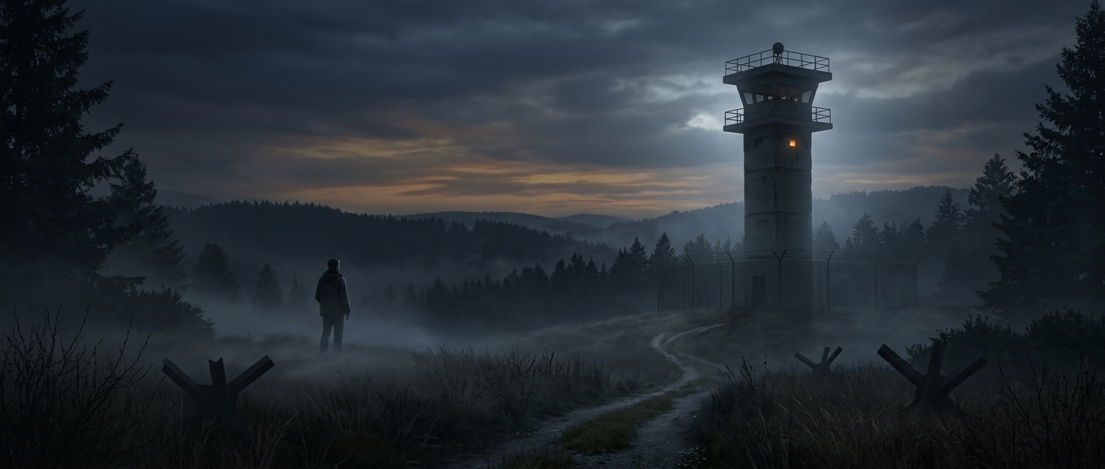
The Cold War ended without the feared attack, but the place still makes the geography of that anxiety tangible. Visitors can see how close the opposing sides were and how a quiet rural landscape was divided by a fortified frontier. The surviving towers recall a military job built around looking across that boundary—watching for change in a landscape where a few roads and open approaches carried outsized strategic importance.
Walking the former border today, the striking detail is how ordinary the terrain can look. Its importance came not from a dramatic natural landmark, but from the routes it offered through the surrounding high ground.