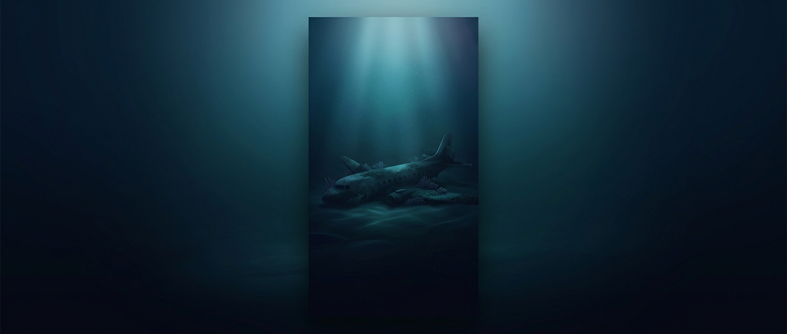
Why a sonar search advances in strips
A search team cannot simply point sonar at the ocean and get a picture of everything below. A common tool, side-scan sonar, sends sound pulses sideways from a sensor towed behind a ship or carried by an underwater vehicle. The returning echoes reveal shapes and textures on the seabed. But the sensor covers only a limited band on each pass; scanning farther to either side generally means accepting less detail.
That creates a mapping problem. Crews follow planned tracks, recording each strip of seabed and trying to overlap neighboring strips so gaps do not remain. In deep water, the equipment may need to travel close to the bottom to produce a useful image, making each survey pass slow and demanding.
Finding an object is not the same as finding a plane
Sonar does not label what it detects. A wreck can appear as an unfamiliar shape or as a shadow cast by the sound, and rocks or other seabed features can also attract attention. Investigators may need to examine a promising contact with a camera or another sensor before they can identify it.
The search area itself can be uncertain. Investigators use available flight and tracking information to estimate where the aircraft went down, but a location estimate is not necessarily a precise point. If the aircraft broke apart, pieces may also have landed in different places. Each uncertainty can mean more seabed to survey before a target can be ruled in or out.
The ocean floor has to be searched methodically
The practical consequence is that underwater searches work more like surveying than scanning: teams map sections, inspect possible contacts, and refine the next area to examine. A sonar image is only useful where the sensor has actually passed and returned interpretable echoes. A vast expanse of water can therefore conceal a wreck not because it is invisible to sound, but because finding it requires covering the right patch of seabed closely enough to recognize what is there.