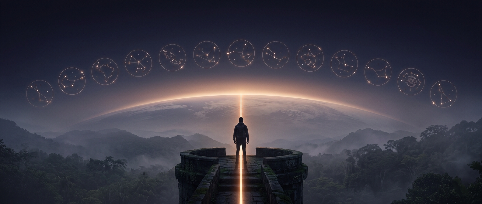
A line that links very different landscapes
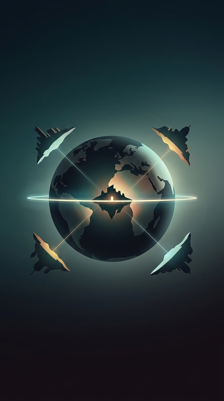
The equator is an imaginary circle halfway between the North and South Poles. On a globe, it traces a continuous route; on the ground, that route alternates among land, islands, and sea. Its 13 sovereign-country crossings span northern South America, central and eastern Africa, and the Indian and Pacific oceans.
That variety explains why the equator is not one continuous belt of rainforest. In South America and Africa, parts of its route cut through humid forests and river basins. Elsewhere it crosses highlands, settled areas, or ocean. Indonesia and the island nation of Kiribati show how much of the route is maritime: a country can lie across the equator even when the line’s passage is mostly over water.
What “on the equator” means on the ground
The line has no natural edge to see. Its position is defined by geography, so the painted stripes and monuments travelers encounter are markers placed at particular sites—not a boundary that divides countries or changes the landscape. A traveler can stand with one foot on either side of a marker, but the distinction is symbolic: the two sides are only a short distance apart.
The equator’s path is worth tracing precisely because it connects places that share a coordinate but not a single climate or way of life. In some locations, the memorable encounter is a monument beside a road; in others, the same invisible line lies beneath forest canopy or open sea.