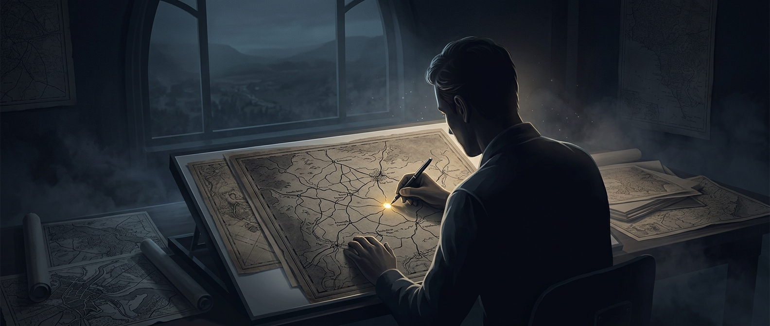
A false dot can reveal a copied map
A map mixes two things that are treated differently: geographic facts, such as where a road runs, and the mapmaker’s presentation of those facts. The facts themselves generally aren’t protected by copyright, but the map’s original design and other creative choices may be. That makes it difficult to prove copying just by pointing to two maps that show the same real road or town.
A fictitious place offers a more distinctive clue. If a rival map reproduces a town that does not exist, the match is harder to explain as a simple consequence of both companies recording the same geography. It can suggest that one mapmaker used the other’s work.
How the trap works
Mapmakers can insert a made-up town or street into a map, sometimes called a copyright trap or “trap street.” The entry is placed among genuine details, where a copier might carry it over without noticing. Later, if the false feature appears in a competitor’s map, the original publisher has a specific point of resemblance to investigate.
Agloe, New York, is a famous example: it was invented by mapmakers and placed on a map. Its value as a clue came not from being an important destination, but from being an unlikely shared mistake. A fake name in a remote stretch of countryside can be more revealing than dozens of correctly mapped towns.
A clue, not a verdict
One matching false entry can raise suspicion, but it does not by itself establish how the rival map was made. Map publishers would still need to consider whether the feature was copied, repeated from another source, or later adopted as a name. The trap is useful because it creates evidence that ordinary geographic overlap cannot provide so easily.
That is the clever reversal: a map’s least truthful detail may be its most informative one. When a made-up town appears on two maps, the question is no longer only where the road goes—it is who may have been looking at whose map.