Two Ways to Measure a Mountain
A mountain’s familiar height is measured above sea level, not from the planet’s center. That makes sense for describing how high a climb rises above nearby terrain and oceans—but it does not tell you which summit is farthest from Earth’s middle.
For that comparison, geographers measure the straight-line distance from Earth’s center to the summit. The result depends both on the mountain’s elevation and on the shape of the ground beneath it.
Earth Is Wider Around the Equator
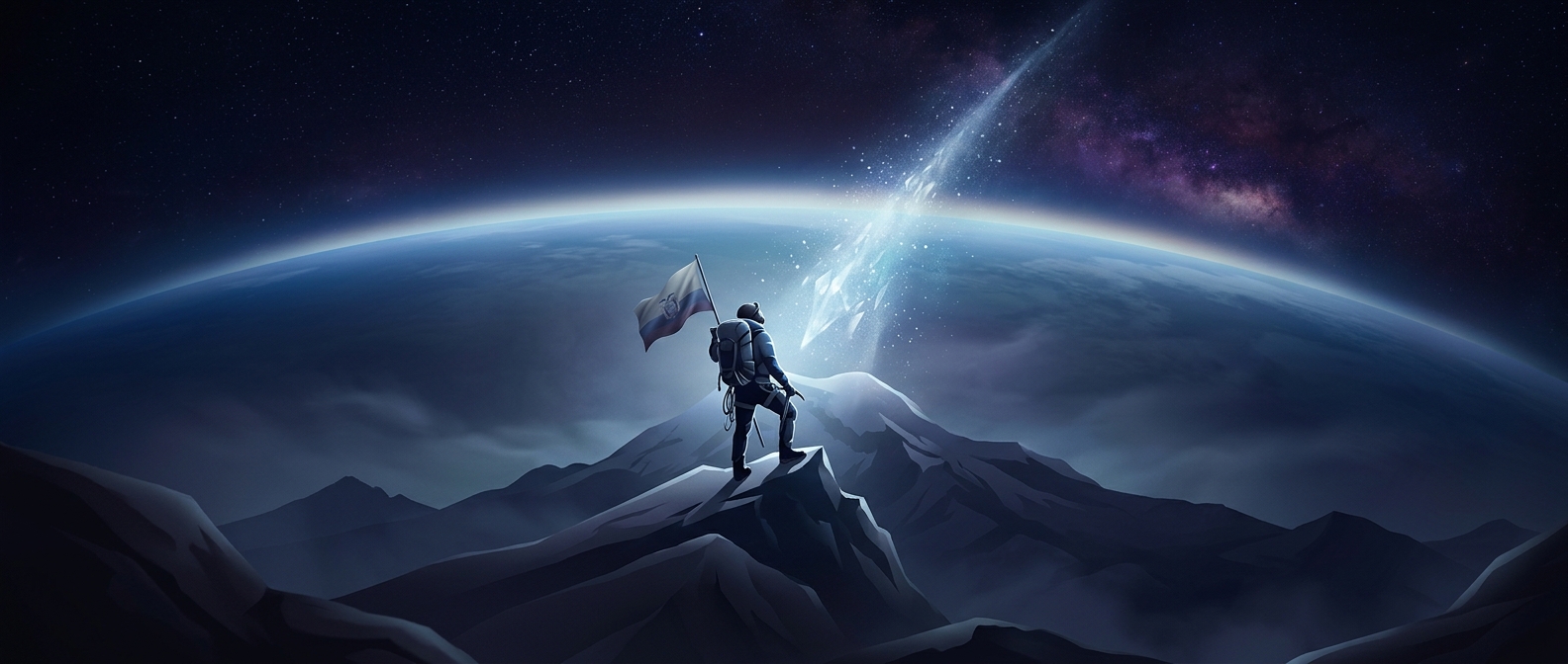
Earth spins, and its rotation has gradually made the planet bulge around the equator. The equatorial surface is about 21 kilometers farther from the center than the surface near the poles. Chimborazo sits close to that bulge, while Everest is much farther north.
That extra distance gives Chimborazo a substantial starting advantage in a center-to-summit measurement. Everest rises higher above sea level, but its summit begins from a part of Earth that is closer to the center. The equatorial bulge more than offsets the difference in their elevations.
The Winner Depends on the Question
This is not a trick that makes Everest shorter, nor does it change how difficult either mountain is to climb. It shows that “highest” can describe different measurements: height above sea level, or distance from Earth’s center.
The distinction matters beyond mountains. Earth is not a perfect sphere, so maps, satellite navigation, and measurements of locations must account for its slightly flattened, bulging shape. Chimborazo’s unusual record is a memorable reminder that a mountain’s place on the globe can matter as much as its height.