How a moving radar platform builds a detailed image
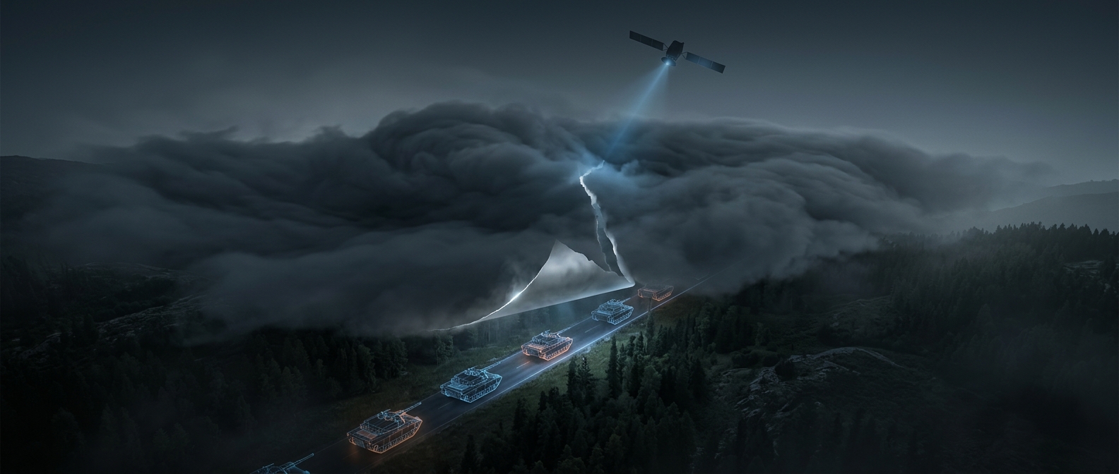
A synthetic aperture radar (SAR) does not take a picture with reflected sunlight. It sends out microwave pulses and records the echoes that return from the ground. Because microwaves can pass through clouds and do not depend on daylight, the radar can collect images at night or in weather that defeats many optical cameras.
As an aircraft or satellite moves, it sends pulses from slightly different positions. Combining those echoes lets the system act like a much larger antenna than the physical one it carries. That processing produces a detailed map of how strongly different surfaces reflect radar energy—not a conventional photograph, but an image with recognizable patterns and boundaries.
Tracking means comparing changes
A single radar image may show roads, buildings, vehicles, and vegetation as contrasts in their radar returns. To track a convoy, analysts can compare images collected at different times. New or shifting radar patterns along a route may indicate vehicles or activity, while repeated observations can show where movement is occurring.
Thick jungle makes the task harder. Radar can reveal features through some vegetation, depending on the radar’s wavelength and the canopy, but it does not make every tank plainly visible beneath dense leaves. Analysts may instead rely on changes along roads, clearings, or other openings, combining those clues with the broader pattern of movement.
What radar adds to the picture
Cloud cover and darkness no longer automatically create a gap in observation. That makes radar useful for monitoring routes when optical imagery is unavailable, while its indirect, pattern-based view means that a radar map is evidence to interpret—not a guaranteed view of every vehicle hidden under the canopy.