How Giethoorn’s canals became its lanes
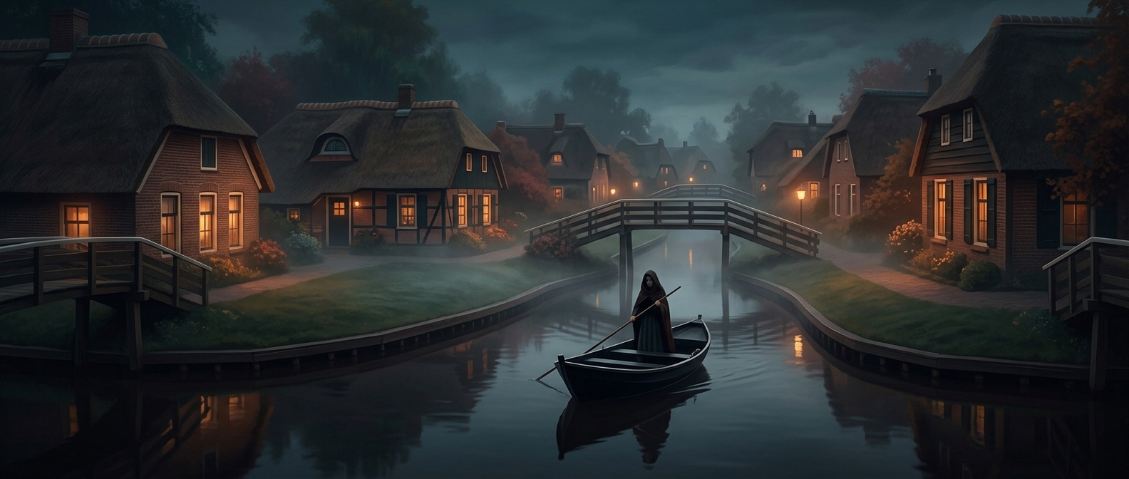
In Giethoorn, in the Dutch province of Overijssel, water does more than frame the scenery: in the village’s historic center, canals take the place of ordinary streets. Residents and visitors move between homes and destinations by boat, while paths and small bridges provide ways to get around on foot.
The waterways grew out of the landscape’s peat industry. Peat—partly decayed plant material cut from wetlands and dried for fuel—was dug from the surrounding ground and carried away by boat. Extraction left long channels and pools; over time, homes and gardens took shape along the water. What began as a practical route for hauling fuel became part of the village’s everyday layout.
A different rhythm for ordinary errands
That layout changes the final stretch of a journey. A delivery cannot simply pull up at every front door; people and parcels may need to travel by boat along the canals, with bridges and footpaths linking the banks. The boat is not just a tourist attraction but a useful response to a settlement organized around water.
The result is a place where distance is measured partly in crossings: a short trip may mean stepping aboard, gliding past gardens, and tying up near a bridge. Giethoorn’s most memorable feature is also a record of how its residents adapted an industrial landscape into a village.