A volcano left a bowl in the Cascades
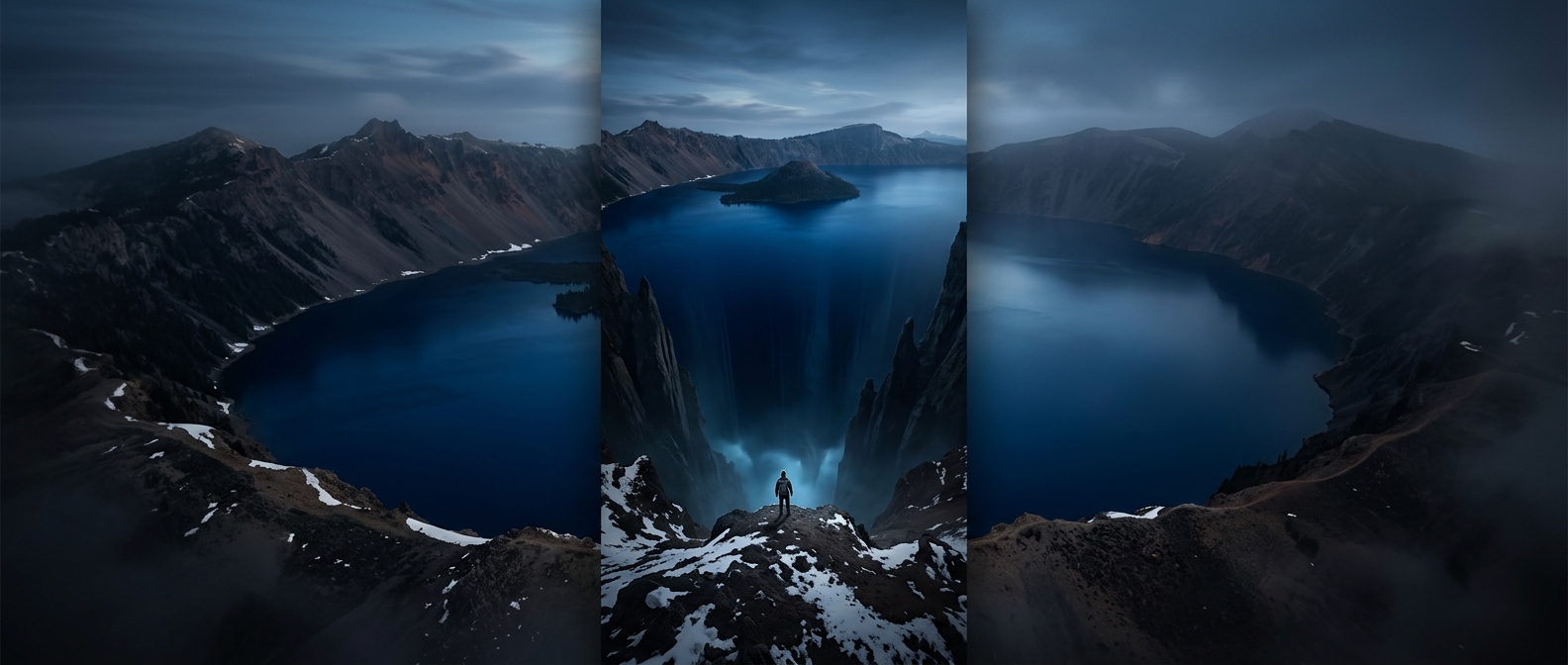
Crater Lake’s depth begins with what happened beneath Mount Mazama, not with ordinary erosion. About 7,700 years ago, a major eruption drained much of the volcano’s underground magma reservoir. With the support beneath its summit reduced, the mountain’s top collapsed inward, leaving a broad, steep-sided basin called a caldera.
That origin helps explain the lake’s unusual shape. Rather than tapering gradually from a wide shoreline, the basin drops sharply toward its center; its deepest point is about 1,943 feet below the surface.
A lake with no river running through it
The caldera’s high rim leaves Crater Lake largely cut off from streams flowing in from the surrounding landscape. Its water comes chiefly from rain and snow falling directly into the basin. Water leaves through evaporation and seepage into the surrounding rock, so the lake’s level reflects a balance between what falls in and what escapes—not the flow of a river carrying water onward.
For visitors, the result is a striking mismatch of scale: from the rim, the lake can look like a contained patch of blue, while its rocky walls descend almost two thousand feet below. The view is not just of a deep lake; it is a glimpse into the collapsed heart of a volcano.