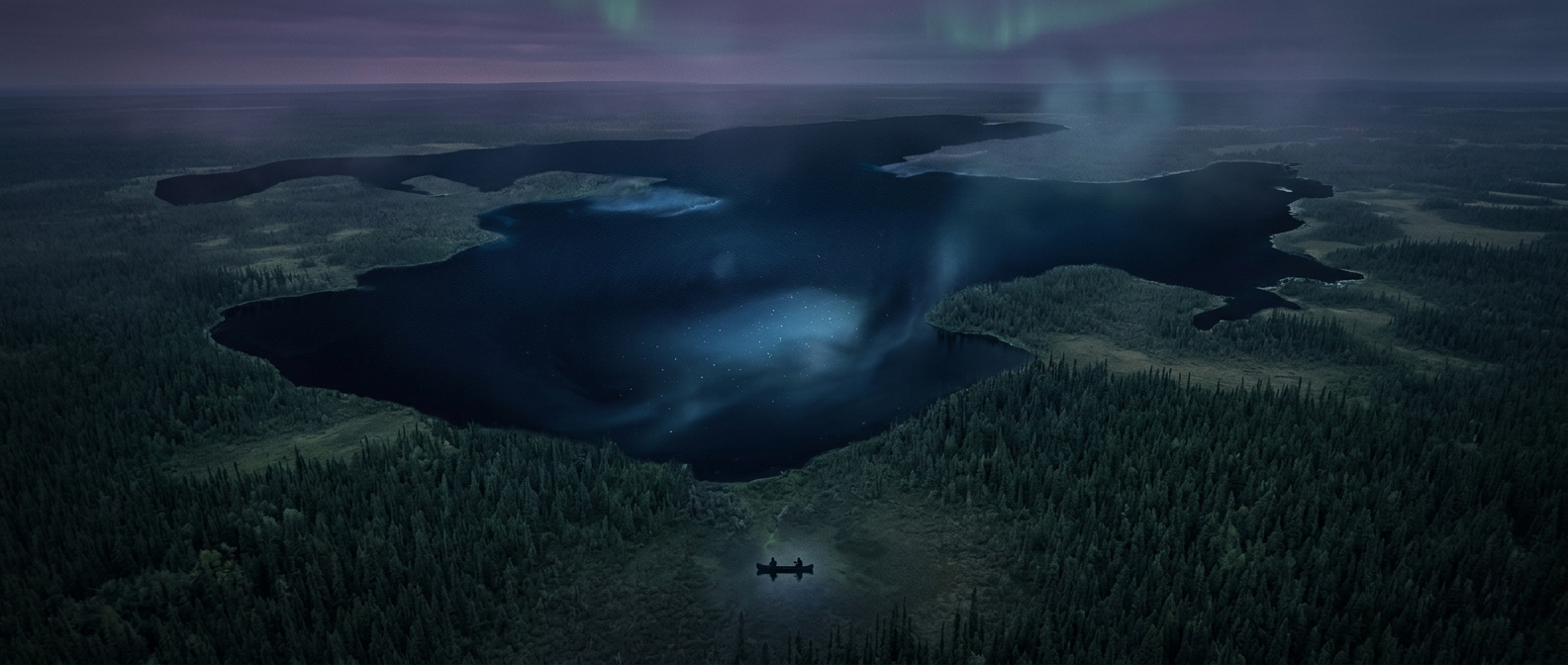
A lake with the scale of an inland sea
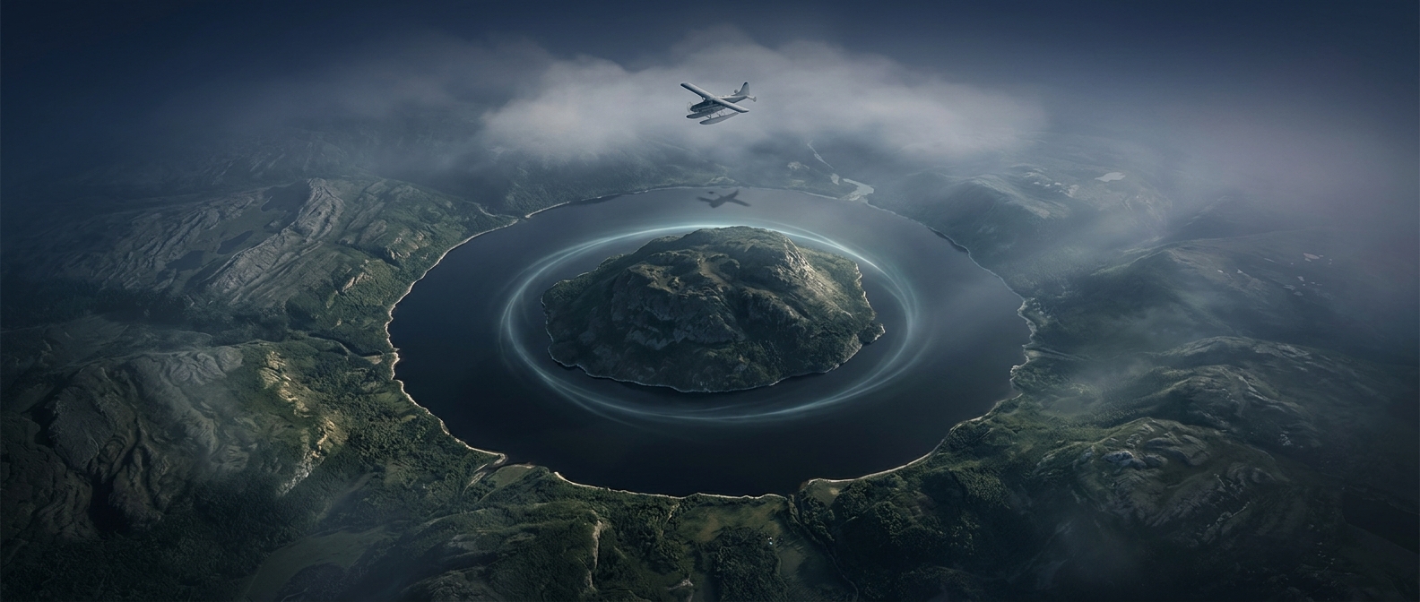
Great Bear Lake lies in Canada’s Northwest Territories, far north of the country’s major population centres. Its shoreline stretches into several broad arms, so the lake is not just a large patch of water on a map: it reaches deep into the surrounding forest-and-tundra landscape. The community of Délı̨nę sits on its western shore, where the lake is part of daily life as well as a defining feature of the view.
The lake drains through the Great Bear River into the Mackenzie River system. That link connects this remote body of water to one of Canada’s great north-flowing river routes, even though the lake itself can feel enclosed by the vast distances around it.
When the lake becomes a route
In the far north, freezing is not simply a change in scenery. As the water turns to ice, boating gives way to winter travel over frozen surfaces; when the ice breaks up, those routes disappear and travel patterns shift again. The timing varies with conditions, so the lake imposes a seasonal rhythm on movement and outdoor work around its shores.
That rhythm helps explain why Great Bear Lake feels so dominant: its size shapes the land, while its changing surface shapes how people can move through it. For much of the year, the shoreline looks out not onto open water but onto an immense frozen expanse.