Why the Old Yungas Road Left So Little Room for Error
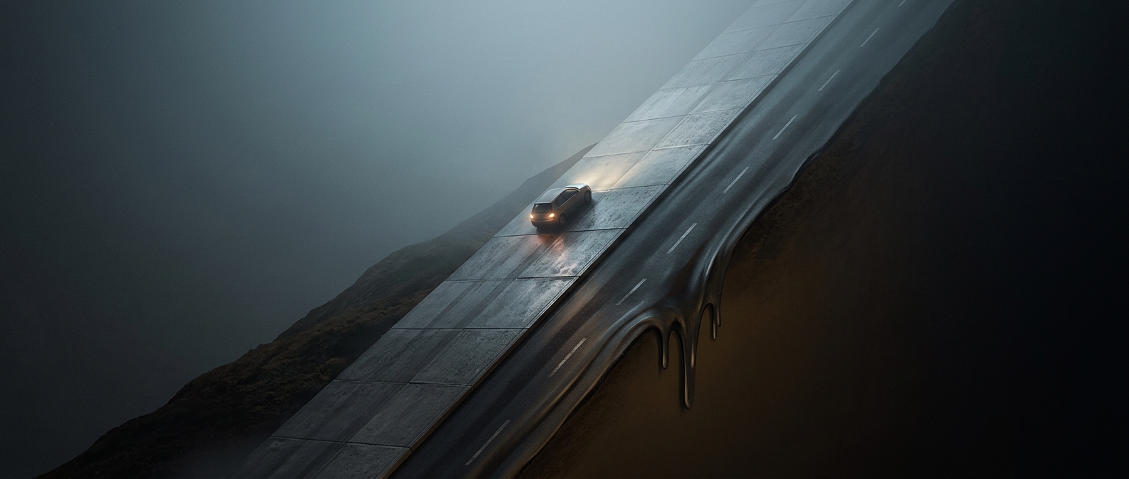
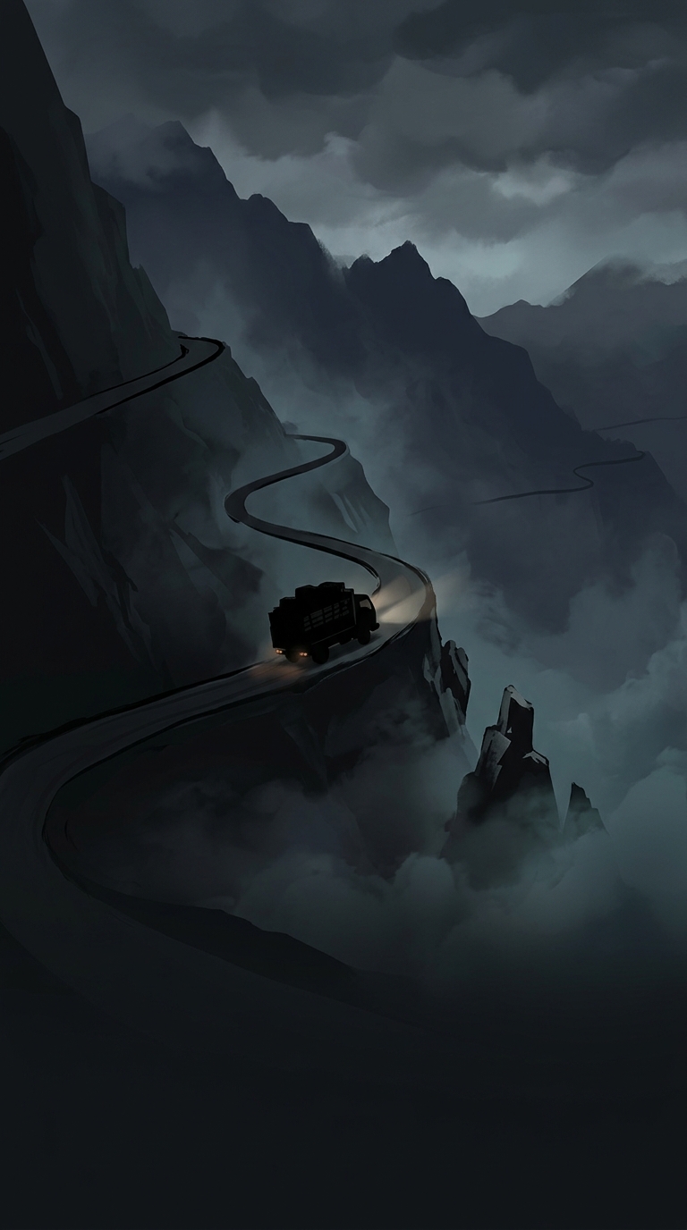
The old Yungas Road descends from the highlands near La Paz toward Bolivia’s humid eastern valleys. Its route cuts across steep mountain slopes, where the hillside rises on one side and the ground falls sharply away on the other. Much of the road is narrow and unpaved, so a driver may have little more than a rough strip of roadway between a vehicle and the drop.
That layout turns ordinary driving judgments into difficult ones. On a tight bend, the slope can block the view around the corner; rain loosens the surface, while fog can hide both the road’s edge and approaching traffic. A vehicle that needs to pull over or correct its line may find there is no shoulder to use.
Why Drivers Took the Cliff-Side Position
On the old route, drivers traditionally traveled on the left, placing the driver’s seat closer to the cliff edge. That unusual position helped drivers judge how near their wheels were to the drop. It also made passing especially fraught: on a narrow stretch, vehicles could not simply move into a spare lane, because there often wasn’t one. Drivers had to slow, communicate, and negotiate which vehicle would back up to a wider spot.
The practice was a response to the road’s geometry, not a guarantee of safety. A driver could see the edge more clearly and still misjudge a bend, meet another vehicle in a bad place, or lose traction on a wet surface.
A Route Shaped by the Mountain
The road’s reputation grew from the way its hazards combine. A steep descent alone is manageable; a steep descent with blind curves, unstable weather, and almost no room to recover is far less forgiving. The old Yungas route is now largely bypassed by a newer road, but its cliffside sections remain a stark reminder of what happens when a mountain route offers drivers no margin beyond the pavement itself.