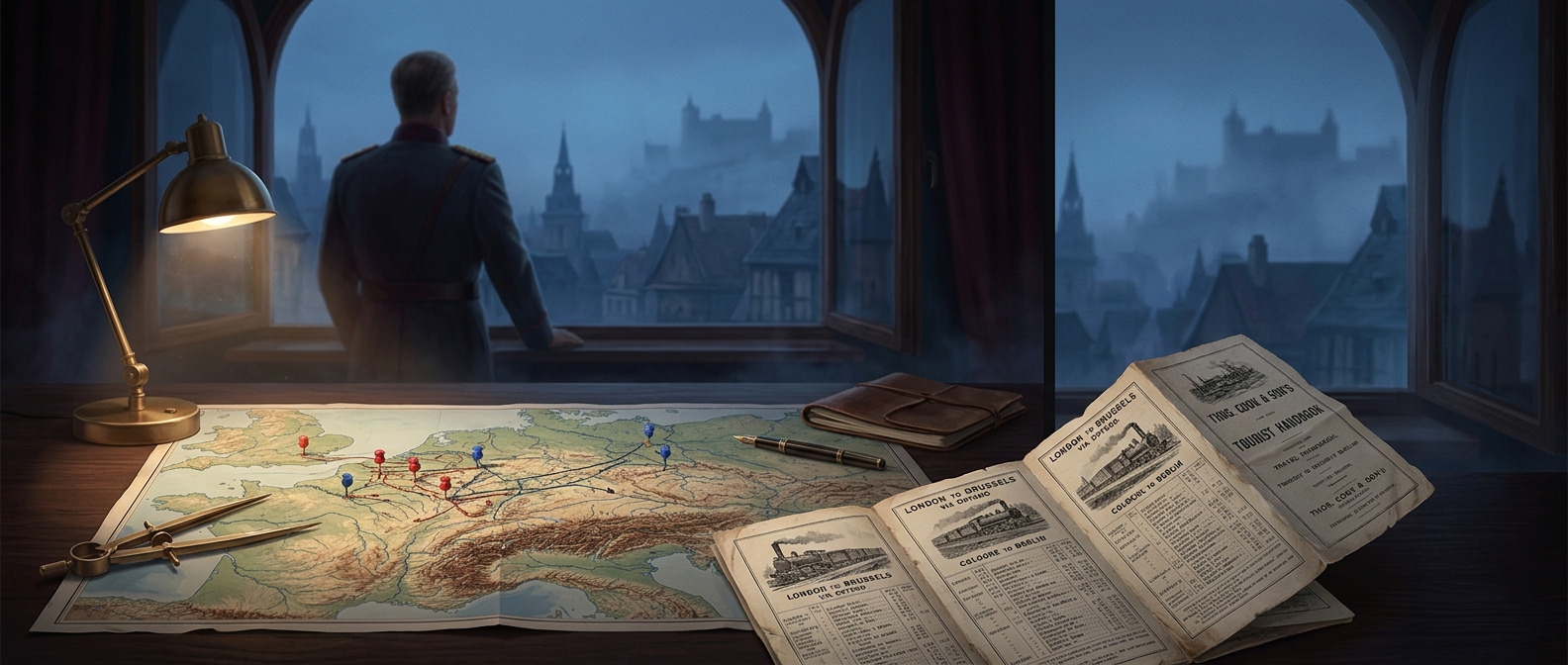
A civilian timetable became a map of movement
A railway timetable does more than tell a traveler when to leave. It shows how separate lines connect: which trains meet, where passengers must change, and how long a journey takes. Cook’s Continental Timetable brought schedules from across Europe into one reference, making the continent’s rail network easier to plan across borders.
That overview had wartime value. Armies and governments needed to move people and supplies through a system built for civilian traffic. Planners could use the published connections to work out routes, transfers, and timing without assembling each country’s railway information from scratch. For covert movements, a familiar travel guide could also offer practical information without looking like a military document.
The timetable was a starting point, not a guarantee
A printed schedule could help planners coordinate a movement, but it could not make trains run on time or ensure that a route remained open. Wartime demands and disruption could change the conditions on the ground. The guide supplied a shared picture of the network; military planners still had to adapt their plans to actual railway operations.
Its significance lies in that quiet conversion: information meant to help travelers cross Europe could also help governments think through how troops might cross it. A book of ordinary departures and connections became useful because, in wartime, knowing how a transport system fits together is itself a strategic advantage.