Why High Pressure Can Put a Lid on Storms
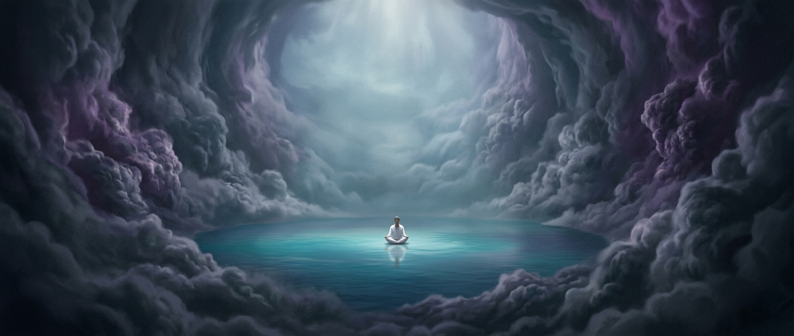
A thunderstorm needs more than moisture: air near the ground must rise, cool, and condense into clouds. In a high-pressure system, sinking air tends to work against that upward motion. As it descends, it is compressed and warms, making it harder for rising surface air to stay buoyant and climb high enough to build storm clouds.
That warming also lowers the air’s relative humidity—how close it is to holding as much water vapor as it can at its current temperature. A cloud may therefore evaporate, while new clouds become less likely to develop. The effect can be especially strong when descending air forms a stable layer, or “cap,” above warm, moist air near the ground. The ingredients for a storm may be present, but the cap blocks the lift that would bring them together.
Suppressed Is Not Impossible
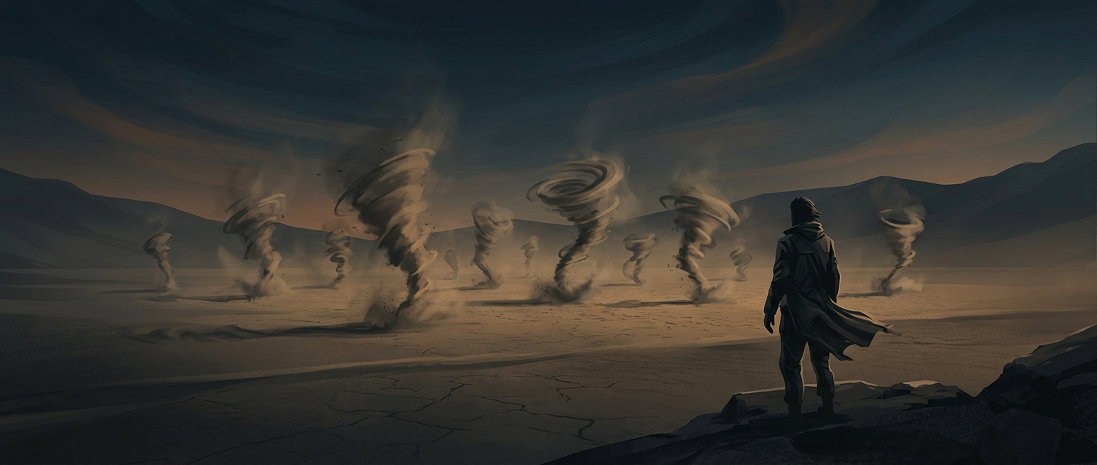
High pressure does not guarantee calm weather. A strong weather front, mountain slope, or other source of lift can sometimes push air through the stable layer. If enough moisture and instability are available, storms can still form; they may simply be less widespread or harder to trigger than they would be without the sinking air.
The practical consequence is that a stretch of high pressure can suppress rain even when the ground is warm and the air feels humid. If the pattern persists, fewer storms mean less opportunity for rainfall—one reason prolonged high-pressure spells can contribute to dry conditions.