A golf course measured in road miles
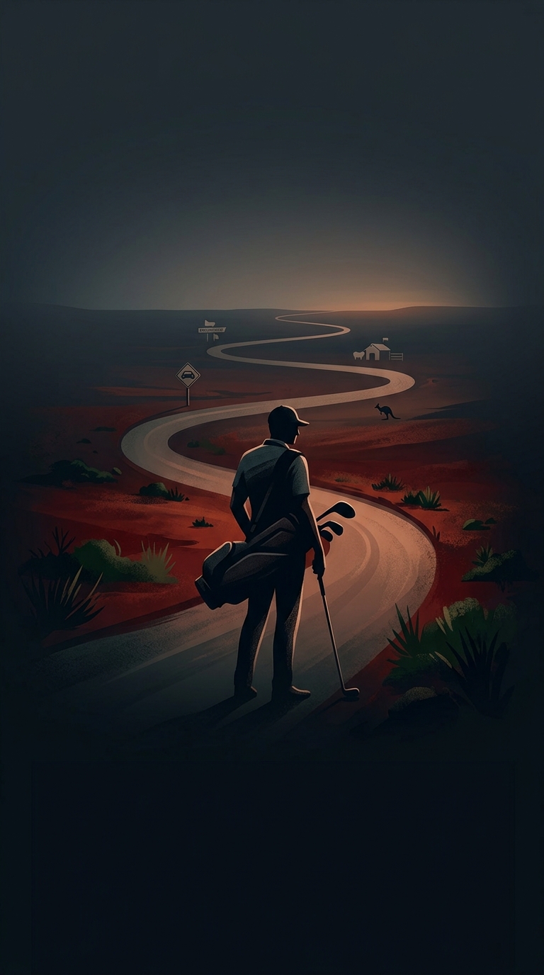
The Nullarbor Links is less a continuous stretch of fairway than a route: its 18 holes are distributed among towns and roadhouses along the Eyre Highway, across the vast Nullarbor region of southern Australia. Players drive from one hole to the next, turning a golf round into a road trip through a sparsely settled landscape.
That layout makes practical sense here. The Nullarbor’s distances are so great that building a conventional course—with all its holes together—would be an awkward fit for the communities along the highway. Instead, existing local golf facilities serve as individual holes. The course links places that might otherwise be little more than stops on a long drive.
Each stop changes the setting
A standard course keeps players within one landscape; the Links makes the landscape part of the game. Between holes, the scenery shifts from town edges to open country, and the drive becomes part of the experience. Players need to plan around fuel, food, daylight, and the distance to the next stop rather than simply walking to the next tee.
The route also crosses a time-zone boundary, so the clock can change during the round. That is a small but memorable reminder of the scale involved: completing all 18 holes means crossing a substantial slice of Australia, not circling a single property.
A course that doubles as an itinerary
Because the holes are spread along a highway, the Links gives travelers a reason to pause in communities they might otherwise pass through. Golfers can play at their own pace over several days, while the towns and roadhouses provide the stops that make the journey possible. The defining challenge is not just the next shot—it is reaching the next tee.