A line drawn across a nearly blank map
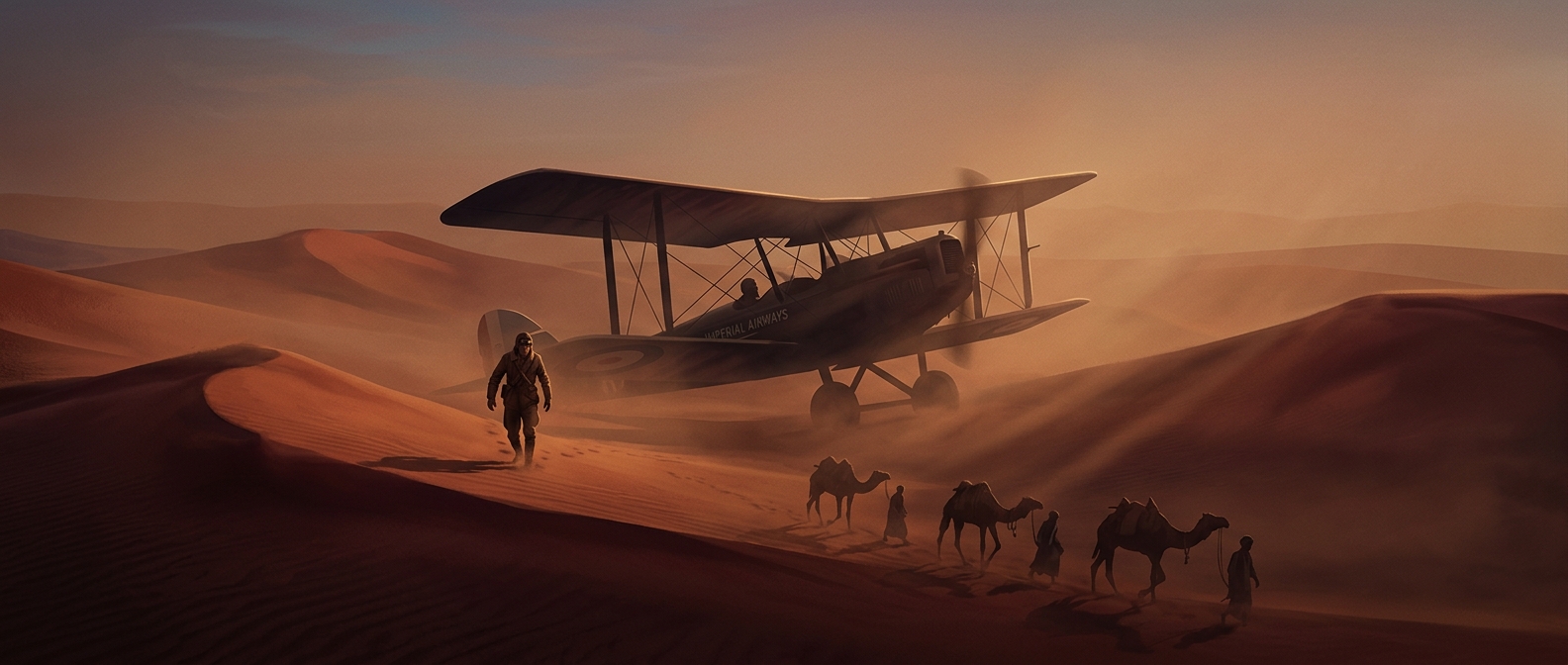
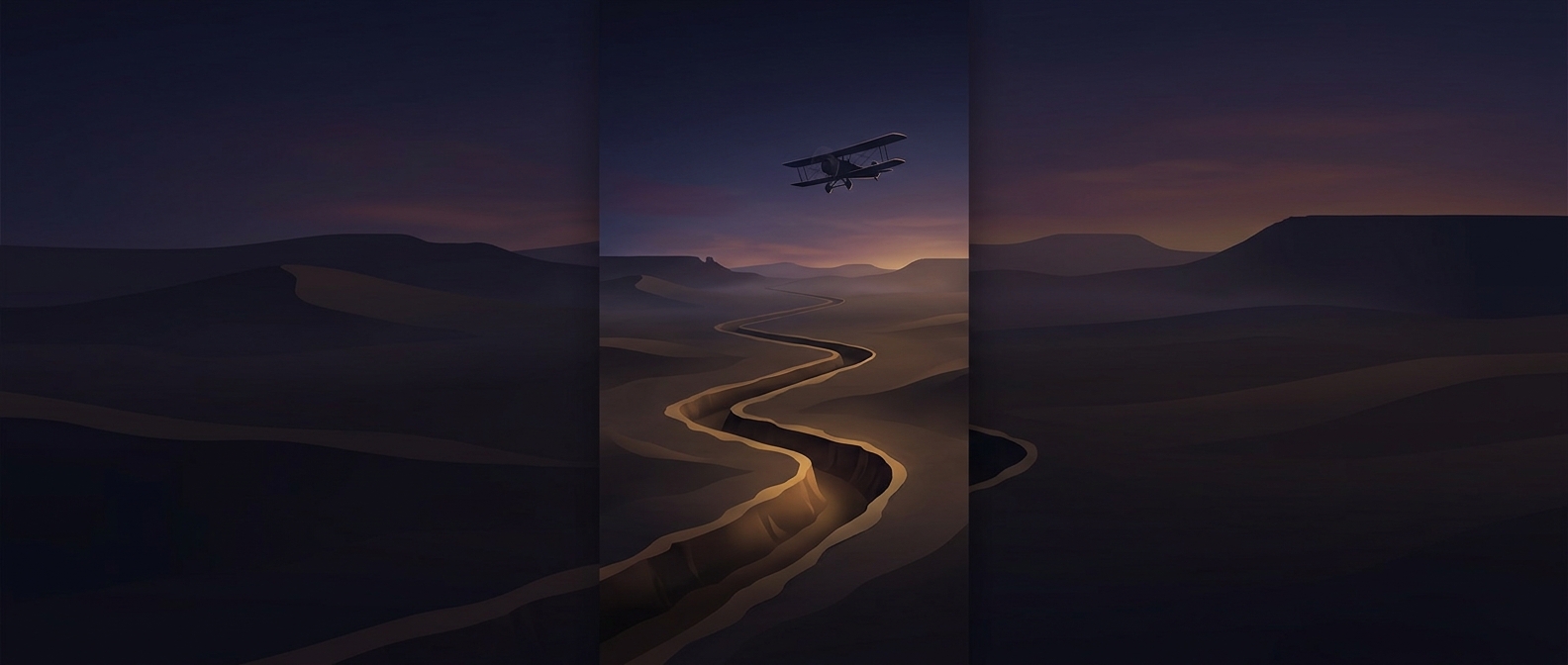
From the air, a desert can offer few reliable visual cues. A pilot may see broad changes in terrain, but a long stretch of sand and rock can look much the same in every direction. In 1924, Imperial Airways turned that problem into a ground-marking project: tractors cut a furrow through the Iraqi desert to make the route easier to recognize from above.
The furrow did not guide an aircraft like a rail guides a train. It was a visual reference—a line pilots could spot and use to check whether they were keeping to the intended course. That mattered when navigation depended heavily on observing the landscape and judging the aircraft’s position as it moved between places.
A landmark with a built-in weakness
The trench’s usefulness depended on contrast. A dark or sharply defined mark could stand out against pale ground; loose dust could soften or cover it until the line blended back into the desert. The same open landscape that made the furrow visible from far away also left it exposed to wind and drifting sand.
That vulnerability reveals the tradeoff behind the scheme. A ground feature could make a route easier to follow without requiring a continuous chain of staffed navigation points, but it could not guarantee that the route would remain visible. Pilots still had to interpret what they saw and cope when the landmark vanished.
The furrow was therefore less a permanent road than a temporary message written on the landscape. Its 250-mile scale made the effort striking; its susceptibility to dust showed how fragile even a carefully engineered aid could be in the desert.