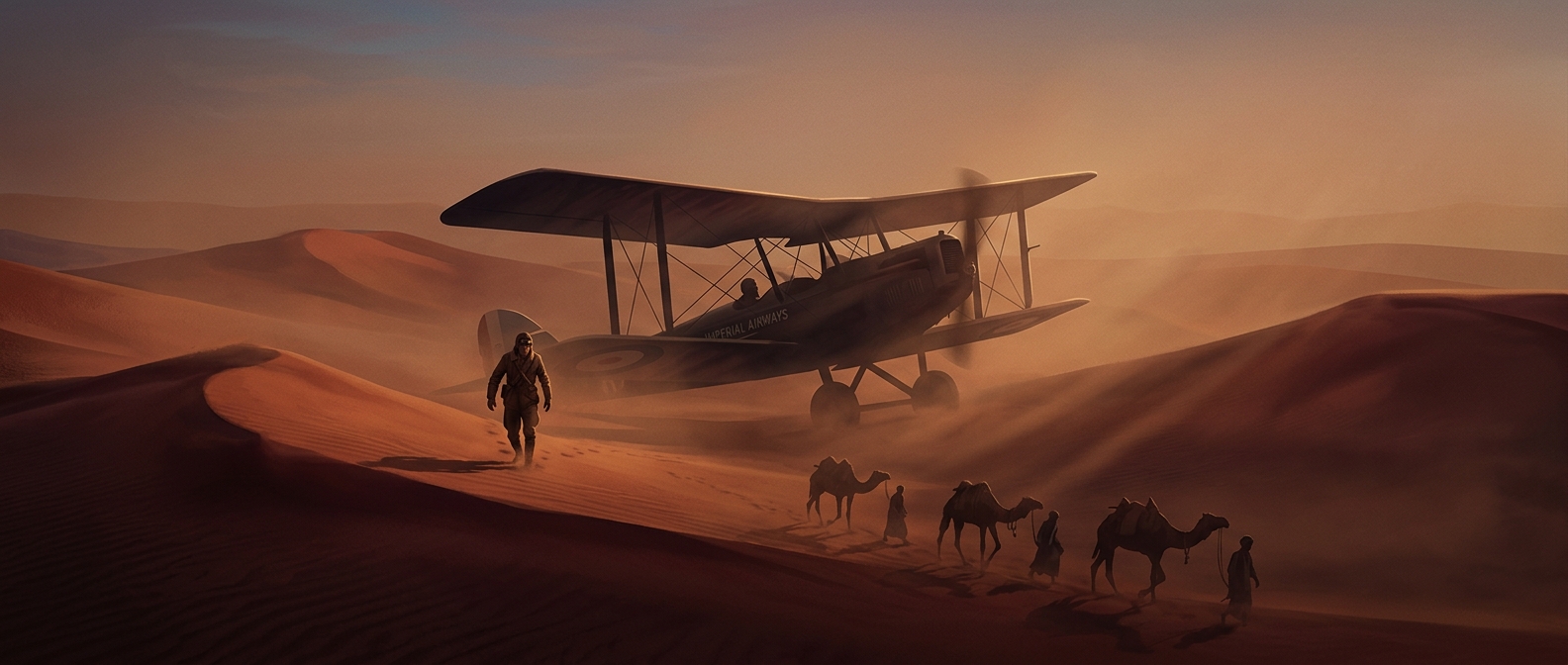
Why the route to India ran over desert
Imperial Airways’ journey from Cairo toward Karachi followed a chain of stopping places across the Middle East rather than a single long flight. Early airliners could not carry enough fuel to cross vast distances without landing, and the airports, navigation aids and repair services familiar to modern travelers were sparse along the way. The route therefore had to connect places where crews could refuel, get their bearings and, if necessary, bring an aircraft down.
That made the desert a corridor, not merely an obstacle. Forts and isolated stations could serve as recognizable landmarks and emergency refuges in country where a disabled aircraft might otherwise be stranded far from help.
The limits passengers felt
The aircraft of the period lacked pressurized cabins, so they could not routinely fly high above rough weather as modern jets do. Passengers endured exposed cabin conditions, engine noise and cold, while the crew navigated and managed the practical demands of a long, multi-stop journey. A mechanical failure could turn a scheduled leg into an unscheduled wait at a remote landing place.
Each stop was part of the route’s engineering. Shorter legs reduced the fuel range the aircraft needed, but they also made the trip dependent on every link in the chain: a usable landing ground, fuel and people able to assist. The desert crossing was thus shaped as much by the limits of aircraft and ground support as by geography.
A journey built from links
The route’s defining feature was not simply that it crossed an empty landscape. It was that early long-distance aviation stitched together distant cities through small, vulnerable points of support. To reach India by air, travelers had to accept that the spaces between those points were part of the experience—and that a breakdown could make a remote fort the most important place on the map.