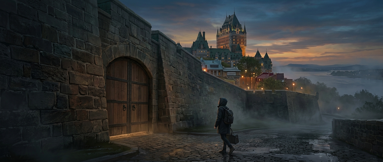
Why Quebec City’s walls still shape the old center
Quebec City’s stone fortifications are more than a preserved border: they help explain why the historic center feels distinct from the newer city around it. The walls trace the edge of Old Quebec’s Upper Town, where steep ground above the St. Lawrence River made the settlement easier to defend and offered a commanding view of the waterway.
Built for changing threats
The defenses took shape over generations rather than as one finished project. French and then British authorities strengthened the city as military needs changed, adding walls, gates and other works to protect a strategic colonial settlement. The surviving fortifications therefore preserve layers of history, not a single untouched design.
Their form also reflects the terrain. On the river side, cliffs provided a natural barrier; elsewhere, masonry defenses and controlled entrances helped regulate access. A gate was both a passage for daily movement and a point that could be guarded in wartime.
A boundary that became part of city life
As urban development spread beyond the old defenses, the walls remained a visible outline rather than disappearing beneath new construction. Today, walking along them makes the old city’s shape legible: streets and buildings gather inside a clear historic boundary, while modern neighborhoods extend beyond it. That is why the walls do more than lend Quebec City a European appearance—they let visitors see, in the city plan itself, how geography and military history shaped where the old center ends.