Where the Yarlung Tsangpo cuts through the Himalaya
In southeastern Tibet, the Yarlung Tsangpo River makes a dramatic turn around Namcha Barwa, a high Himalayan peak, and carves through the mountains in a vast gorge. The river eventually flows into India, where it is known as the Brahmaputra. The gorge’s scale comes not from one neat, open trench but from a rugged landscape of deep side valleys and steep slopes.
A river racing through rising mountains
The Himalaya are still being pushed upward as tectonic plates collide. The river cuts down through the rising rock, while tributaries carve smaller valleys into the surrounding slopes. That combination—uplift and erosion—helps create abrupt changes in elevation and a tangled terrain that can be far harder to cross than a broad, level map might suggest.
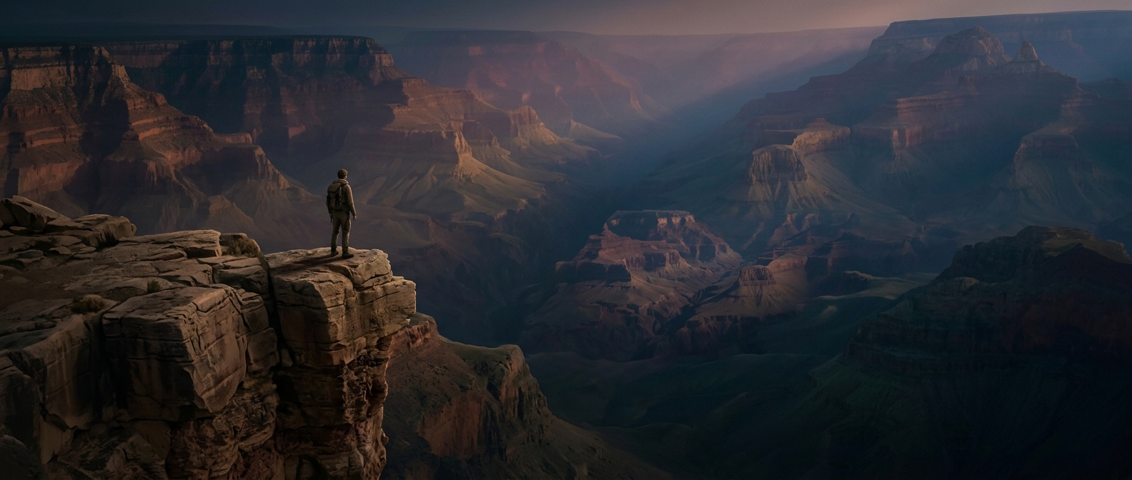
The gorge is often described as deeper than the Grand Canyon. But for anyone on foot, the practical challenge is its shape: a route may have to descend to a river, climb out through steep terrain, and cross another valley. The landscape’s many drops and ridges matter as much as its headline depth.
Why crossing is so difficult
A river corridor can look like a natural path, yet the gorge’s precipitous walls and tributary valleys interrupt any simple walk along it. Remote, rugged ground makes travel slow and access difficult; a short distance on a map can involve repeated descents and climbs. The result is a place where the river’s route through the mountains is much easier to follow from above than to retrace on foot.