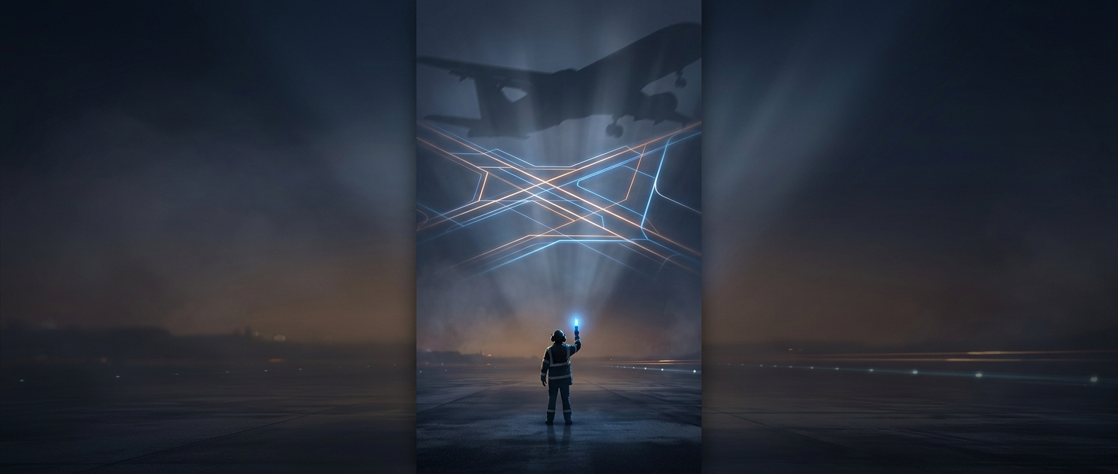
How pavement turns into a shared map
From a cockpit, an airport’s paved surfaces can look like a maze of wide lanes and open intersections. Markings make that maze readable. Runway markings are generally white, while taxiway markings are yellow, creating a visual distinction between surfaces used for takeoff and landing and routes used to reach them.
A taxiway’s centerline gives pilots a path to follow, including through curves and junctions. Signs add the names of routes and runways: a pilot can match a sign to a taxiway letter or runway number in instructions from air traffic control. That shared vocabulary helps crews confirm not just where they are headed, but where they are now.
The boundary that matters most
The most consequential pavement marking is often a hold-short line: a set of solid and dashed yellow lines across a taxiway near a runway. It marks the point where an aircraft must stop unless cleared to proceed. Nearby signs identify the runway beyond the boundary. The line makes an invisible permission boundary visible on the ground, helping prevent an aircraft from entering a runway while another is using it.
Paint alone does not authorize movement. Pilots follow clearances from air traffic control, read back critical instructions, and use markings and signs to check that the route matches the clearance. In low visibility, runway and taxiway lights provide additional cues. The system works because spoken instructions and visible ground references reinforce one another—so a short instruction such as “hold short” points to a specific line, not merely a general area.