How a virtual boundary changes the ride
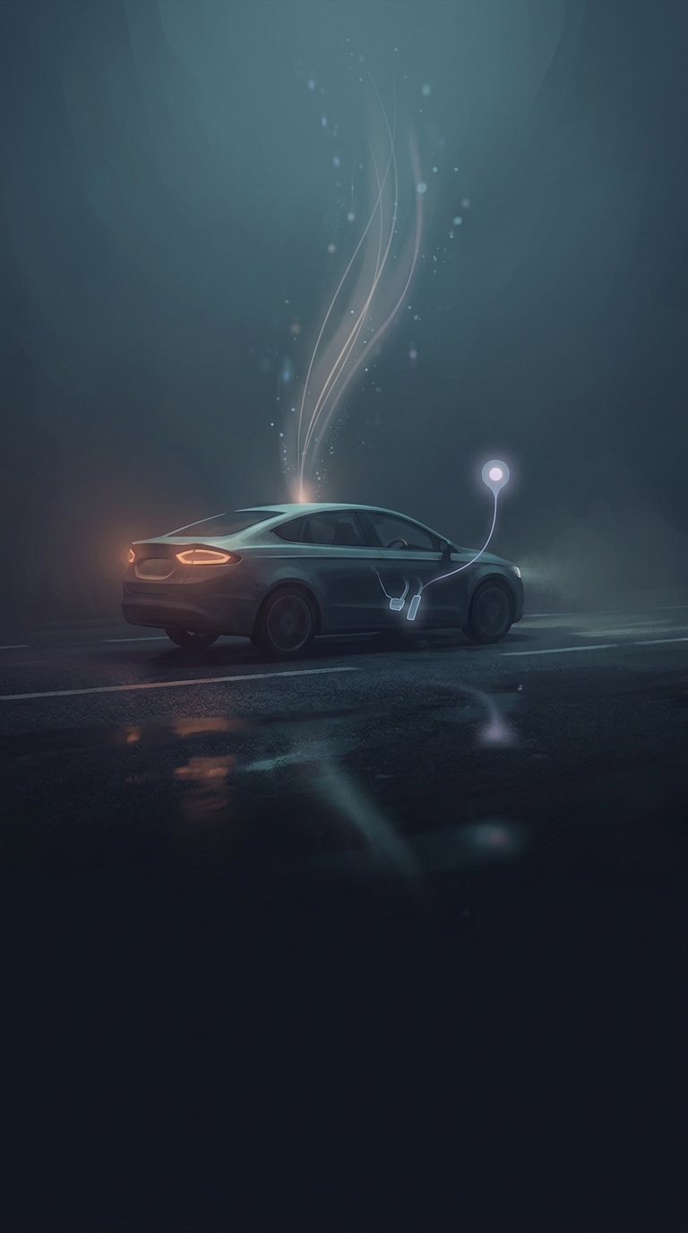
An e-scooter’s geofence is a boundary drawn on a digital map, not a barrier in the street. The scooter estimates its position using satellite navigation and, depending on the model, other location signals. Its software compares that position with mapped zones set up by the operator or local authorities.
When the scooter is identified as being inside a restricted zone, the system can tell its motor controller to limit how much power reaches the wheel. The rider may still steer and brake normally, but pressing the throttle produces less acceleration or a lower top speed. Some systems can also restrict where a trip may end; the exact response depends on the scooter and the zone’s rules.
Why the boundary can feel abrupt
The software has to turn a location estimate into a yes-or-no decision: inside the zone, or outside it. But satellite positioning is not perfectly precise, and signals can be harder to interpret near tall buildings or under cover. A scooter close to a mapped edge may therefore respond before the rider can see any change in the surroundings. The road itself gives no clue that the digital boundary has been crossed.
Geofencing lets operators apply different rules in different places without putting a physical barrier across the road. That is useful where riding or parking needs to be controlled, but it makes the quality of the map and location estimate matter. To the rider, the practical result is immediate: a few meters can change how much power the scooter will deliver.