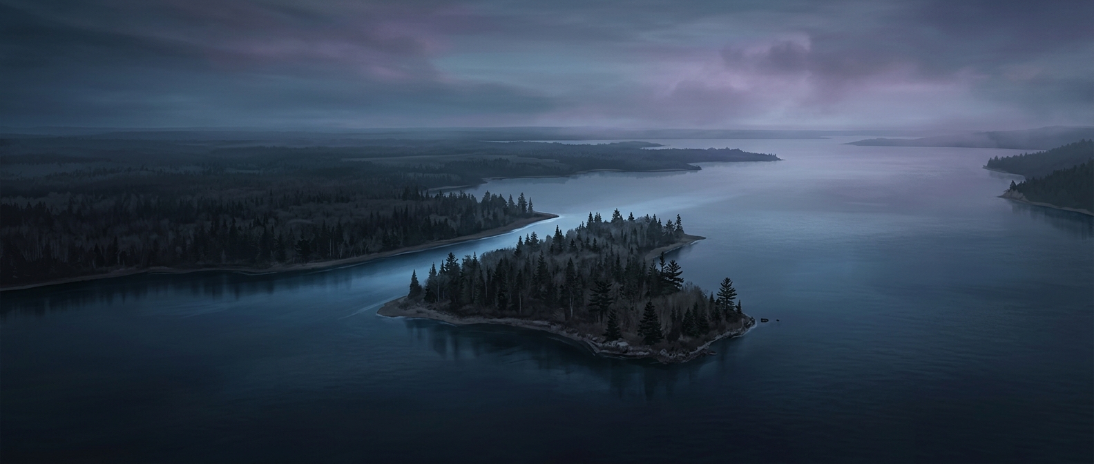
Why Minnesota’s Northwest Angle Is Cut Off by Land
Minnesota’s Northwest Angle sits north of the 49th parallel, the straight line that forms much of the U.S.–Canada border in this region. The border was drawn across Lake of the Woods, but the lake’s irregular shoreline and islands made the map’s geometry awkward: the northernmost tip of Minnesota ended up on the Canadian side of the lake’s main body. Water connects the Angle to the rest of the United States, but there is no ordinary land route that stays within the country.
The Road Takes an International Detour
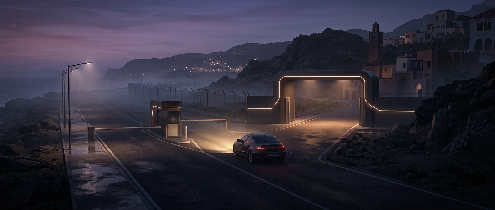
To drive there, travelers leave Minnesota, cross into Manitoba, and then re-enter the United States at the Angle. The route runs through Canadian communities and along the lake before reaching the U.S. territory. At the border, travelers must complete the required immigration and customs checks in both directions; the crossing is part of the trip, not just a line on a map.
That detour shapes everyday logistics. Supplies, school trips, and visits to nearby towns may involve an international crossing, while winter travel can depend on changing conditions on the lake. Residents can also travel by boat or aircraft, but those options do not erase the road connection’s unusual geography.
A Boundary Made by Water and Mapmaking
The Angle’s separation is a consequence of how an international boundary intersects a large, complex lake—not a detached island deliberately placed far from Minnesota. Its location makes a small piece of the state feel geographically closer to Canada, even though it remains part of the United States. The simplest way to understand the place is to picture a U.S. peninsula whose landward route loops through another country.