How a changing atmosphere can roughen the ride
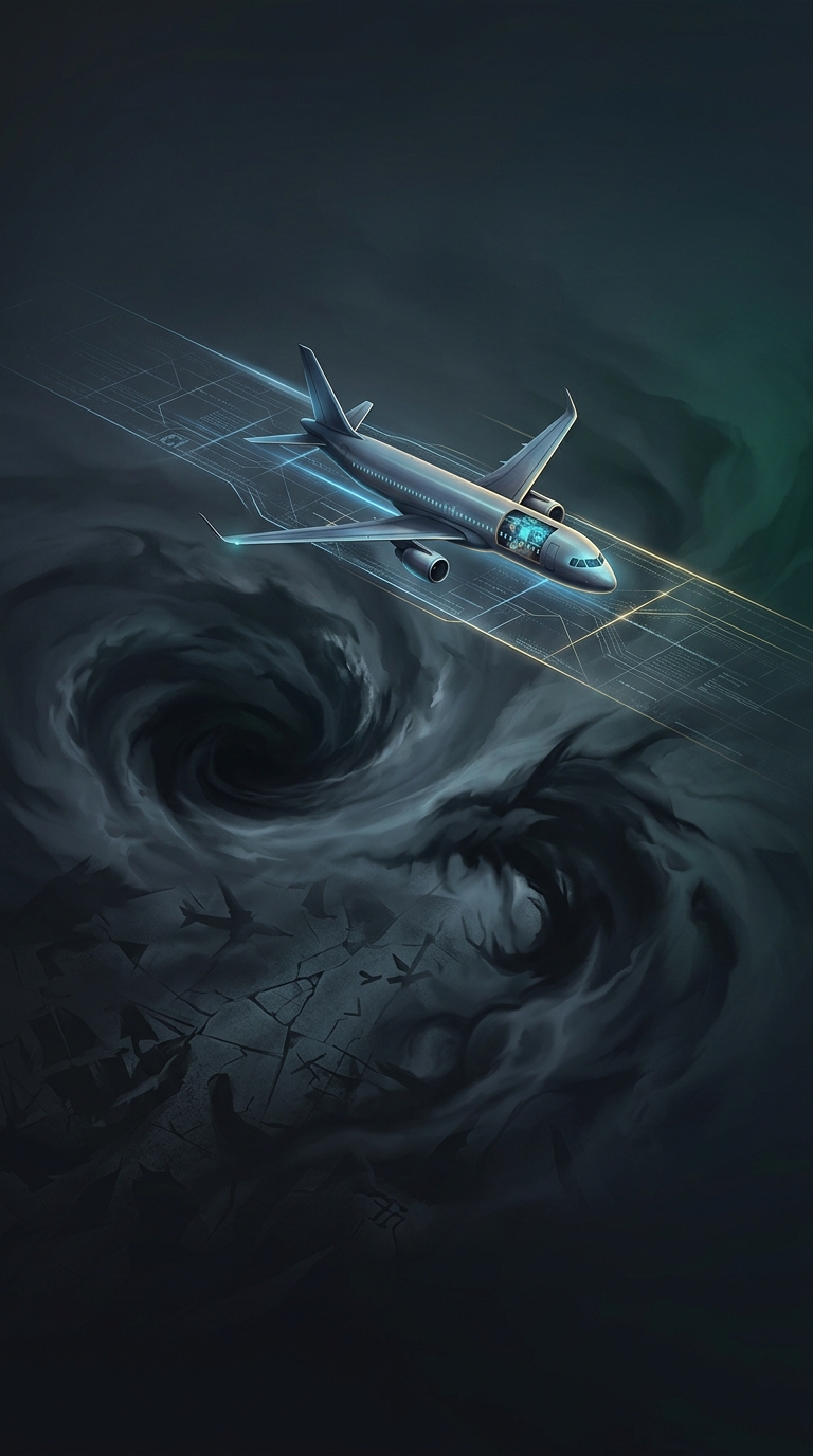
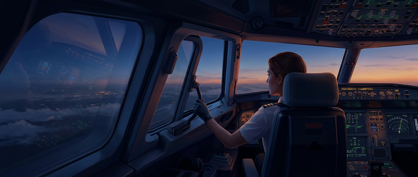
The key mechanism is wind shear: a sharp change in wind speed or direction over a short distance. Where fast-moving air meets slower air, the boundary can become unstable and break into turbulent swirls. These rough patches can form high above clouds, where pilots may not see them in advance; this is called clear-air turbulence.
As the atmosphere warms, its temperature patterns and large-scale winds change. Those shifts can alter the jet stream—the band of fast winds that circles the planet—and increase wind shear in some regions and seasons. That creates conditions more favorable to clear-air turbulence, including stronger episodes. It does not mean every route will become rougher: the effect varies by location, altitude, and weather pattern.
A projection is not a mathematical guarantee
Climate models can estimate how often turbulence-favoring conditions may occur under a given warming scenario. They cannot promise that severe turbulence will worsen everywhere, or that every flight will feel it. Turbulence is local and intermittent, and forecasts depend on how the atmosphere evolves as well as on the model and region being considered.
The practical consequence is a growing need to predict and avoid rough air. Aircraft are built to withstand turbulence, but sudden jolts can injure people who are standing or unbelted. Better forecasts and flight planning can help crews steer around some turbulent areas; keeping a seat belt fastened while seated remains useful even when the ride seems smooth.