A deep basin at the edge of the Canadian Shield
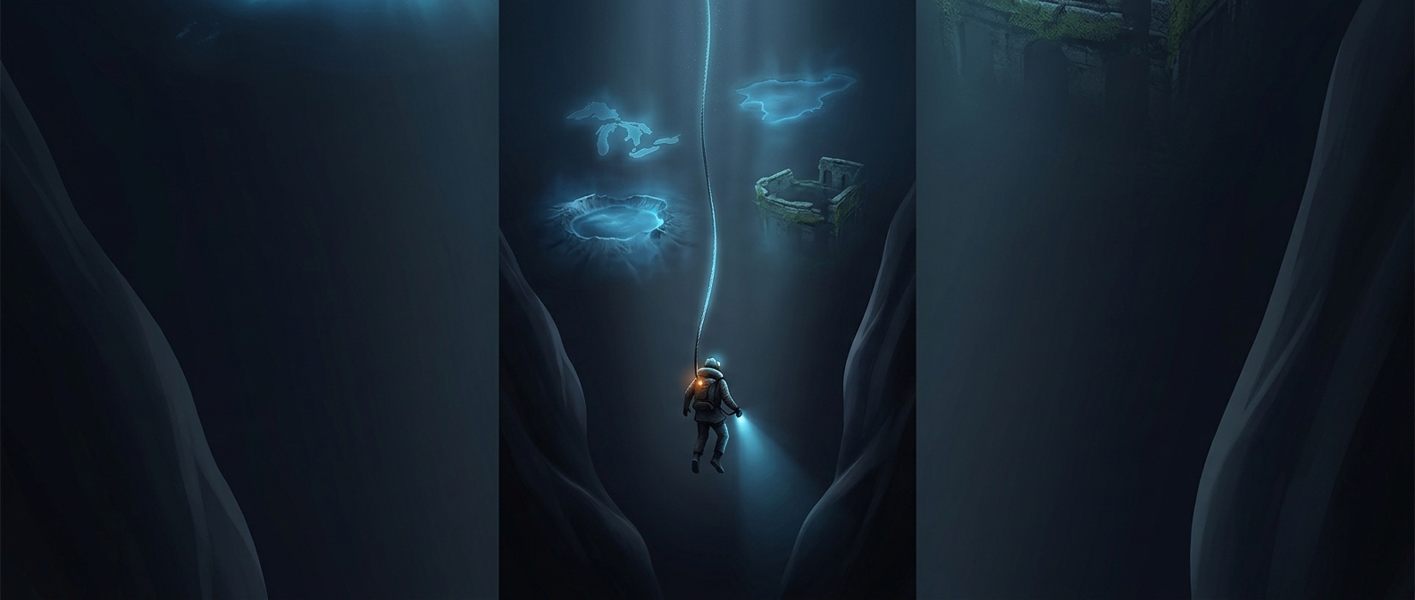
Great Slave Lake lies in Canada’s Northwest Territories, with the city of Yellowknife on its north shore. Its greatest depth is in the lake’s eastern arm, a long, narrow reach bordered by the rocky landscape of the Canadian Shield. That depth is concentrated in one part of the lake; it does not mean the entire lake floor drops away uniformly.
The basin reflects a landscape reshaped by powerful forces over long periods. Moving glaciers scoured and deepened parts of the northern terrain, while the underlying rock and the lake basin’s shape helped determine where deep water could collect. Today, the lake’s sheltered arms and broad open reaches make its geography feel different from shore to shore.
Water on a northbound route
Great Slave Lake is part of a much larger watershed. The Slave River carries water into it, and the Mackenzie River carries water out, north toward the Arctic Ocean. So the lake is not an isolated pool: it is a major link in a continental river system.
That connection also gives the lake practical importance in a region where settlements are widely separated. Its shores and waters shape local travel and daily life, while its northern setting brings pronounced seasonal changes, including extensive winter ice. The striking contrast is that a lake central to a northern landscape also hides a basin deep enough to rival far more familiar features of the continent.