How a sextant turns a reflection into an angle
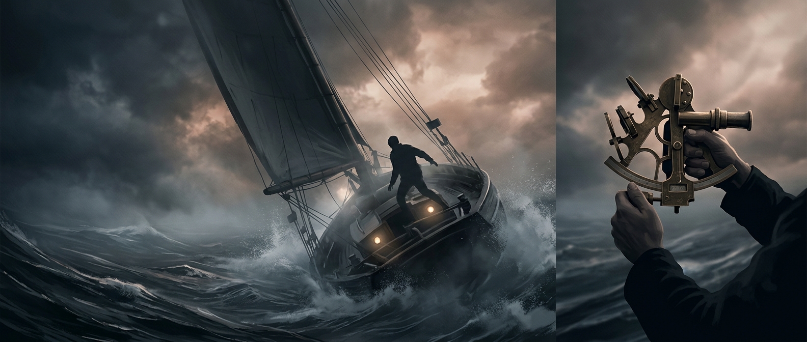
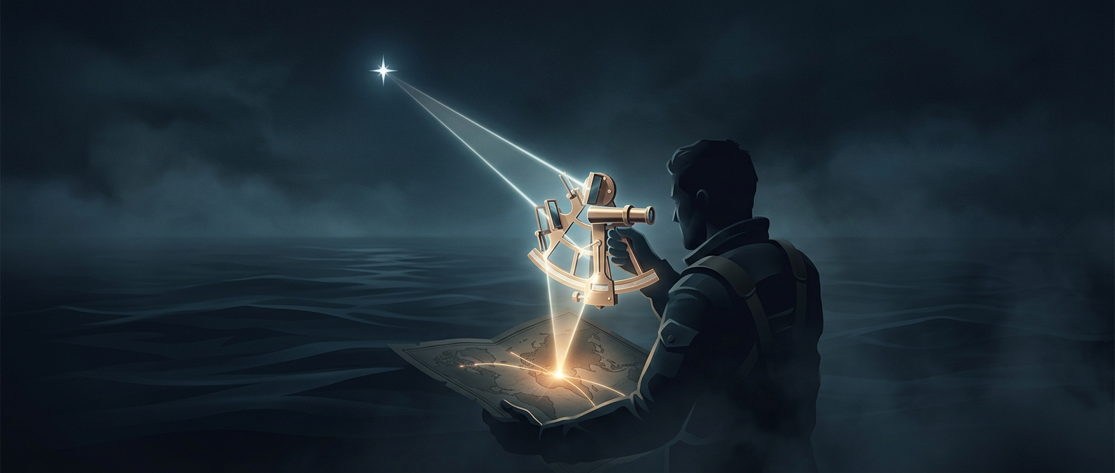
A sextant’s two mirrors let a navigator compare two directions while looking through one small telescope. One mirror, attached to a movable arm, reflects the Sun or a star; the other lets the navigator see the horizon. By moving the arm, the navigator brings the reflected body down until it appears to touch the horizon. The instrument then reports the angle between those lines of sight.
That reading works because a mirror changes the direction of light when it reflects it. In a sextant, the arrangement makes the reflected image shift by twice the mirror’s movement, so the scale is designed to display the actual angle between the celestial body and the horizon.
From an angle to a position
The angle is an altitude: how high the body appears above the horizon. Its meaning depends on which body was observed and when. Navigators compare the measured altitude with predicted positions in a nautical almanac—a reference book of celestial positions—and account for factors such as the observer’s height above the water and atmospheric bending of light.
Latitude is especially straightforward to obtain when the Sun reaches its highest point for the day: the corrected altitude, together with the Sun’s position north or south of the equator, gives the observer’s distance from the equator. Other observations can also yield latitude, but require the relevant celestial data and timing. A sextant reading is therefore not a pin on a map by itself; it is a precise measurement that becomes a position when paired with the right reference information.
Why the horizon matters
The visible horizon supplies a local baseline that does not depend on a compass or a view of land. A ship can roll and the Sun can glare, so taking a useful sight takes care; navigators often repeat observations and compare them. The striking result is that a moving vessel can use a line of sea and a sliver of reflected sky to measure its place on Earth.