A map built from reports and inherited stories
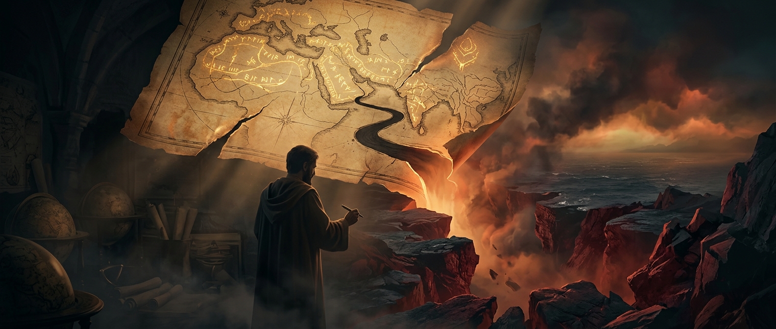
Al-Idrisi’s world map was part of a larger work made in 12th-century Sicily for King Roger II. It drew on information gathered from travelers and earlier geographical writing, then arranged that material into a picture of the known world. But “known” did not mean only places a mapmaker could verify by direct observation. Accounts of distant peoples and sacred history also belonged to the geography of the time.
That is why the map’s far edges could hold both travel information and a legendary barrier associated with Gog and Magog. In medieval traditions, these were destructive peoples kept from the rest of the world by a wall linked to Alexander the Great. The barrier gave a location—and a shape—to a story about dangers beyond familiar lands.
Why south sits at the top
The map’s orientation can look like a mistake to modern readers, but medieval maps did not follow one universal rule about which direction belonged at the top. Al-Idrisi’s south-up arrangement reflects a different convention, not a failure to understand direction. Turning the map around changes how its regions meet the eye, while the accompanying geographical writing supplies descriptions that a drawing alone cannot convey.
The work organized the world into zones and sections, combining a structured account of places with inherited ideas about the world’s limits. Its map was therefore not simply a picture of coastlines; it was a framework for placing reports within a larger account of human and sacred history.
The edge of geography
The wall matters because it shows what a medieval map could do: connect distant, reported geography to a moral and religious landscape. A traveler’s account might help locate a region, while tradition explained why the region mattered. At the map’s margins, the boundary between geography and cosmology was part of the map’s meaning—not a line its makers were trying to erase.