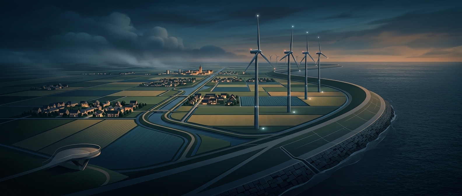
A barrier across a tidal inlet
The Afsluitdijk is more than a road across the water: it is a long, engineered barrier separating the former Zuiderzee from the North Sea. Before it was closed, tides carried seawater deep into the low-lying heart of the Netherlands. The inlet’s broad, shallow shores were exposed to storm surges, and floods could push water far inland.
Closing the inlet changed the movement of water. The barrier blocks the direct tidal exchange with the sea, while gates at either end can be opened to let excess water flow out when conditions allow. Rivers and rainfall continue to feed the enclosed basin, gradually lowering its salinity. That basin became the IJsselmeer, a managed freshwater lake rather than an arm of the sea.
When the water changed, livelihoods had to change
For fishing communities, the shift was not merely a new name on a map. Saltwater species that supported the old Zuiderzee fishery declined as the water freshened, disrupting work built around catching and selling them. Fishing did not simply vanish, but the species, methods, and markets had to adapt to a different lake ecosystem.
The new geography altered everyday life, too. Urk, once an island in the Zuiderzee, became connected to the mainland as land was reclaimed around the lake. The same water-control project that reduced the sea’s reach therefore reshaped shorelines, occupations, and the identity of places that had lived by the tide. Stand on the dike today, and the striking contrast is not just water on either side: it is the boundary between an open sea and a landscape the Netherlands now manages from behind a barrier.