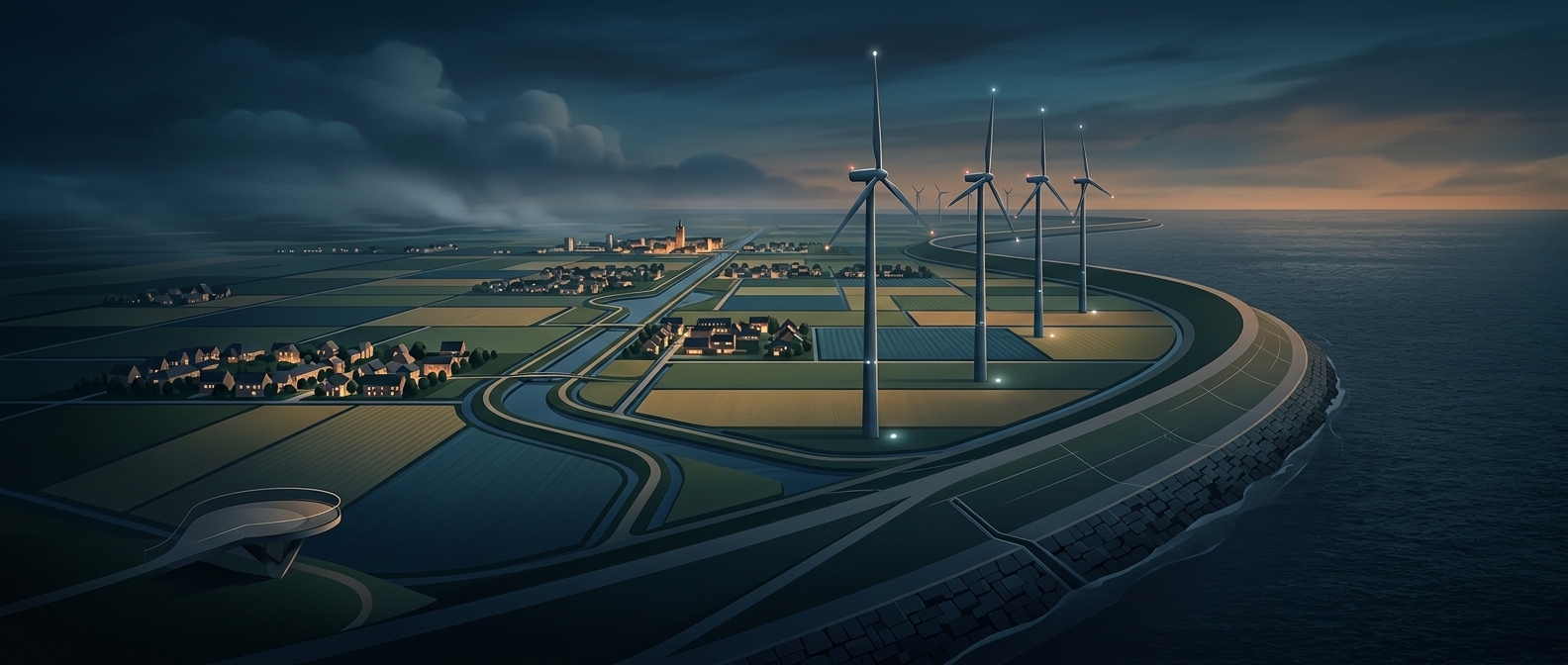
How the Zuiderzee became usable land
Flevoland’s fields and towns occupy polders: areas of water enclosed by dikes and then drained. The transformation began when the Afsluitdijk sealed off the Zuiderzee from the North Sea, turning the former tidal inlet into the freshwater IJsselmeer. That barrier made it possible to reclaim land in stages rather than trying to hold back the open sea directly.
For each new polder, engineers built a ring dike, pumped out the water, and organized the exposed seabed into canals and drainage channels. The canals carry excess water toward pumping stations, which keep it at a controlled level. Without that ongoing system, water would seep or flow back into the low-lying land.
A landscape that depends on maintenance
The result is not simply dry ground left behind by a one-time engineering feat. Flevoland remains part of a managed water system: dikes limit flooding, while pumps and waterways regulate the water table so fields and settlements can function. In places below sea level, gravity alone cannot reliably drain the land.
That infrastructure also shapes what visitors see. Long straight roads, planned settlements, broad farms, and canals reflect decisions made while the land was being laid out. A quiet field here is also a working piece of water engineering—land that stays livable because water is continually directed away from it.**