Why a Paper Map Can’t Tell You Where You’re Facing
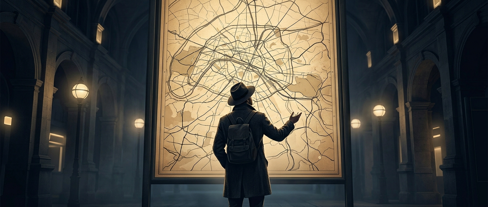
A map shows streets from above, but the person holding it is standing at street level. To connect the two, you need to match a visible feature—a road, river, or landmark—to its position on the page, then work out which direction you’re looking. If the map is turned the wrong way, a familiar intersection can seem unfamiliar.
Many maps place north at the top, but “up” on the paper is not automatically the direction ahead. A compass can help align the map with north; without one, you can rotate the map until the streets and landmarks around you line up with what you see. That works best when there’s room to pause and compare.
The Intersection Adds Its Own Confusion
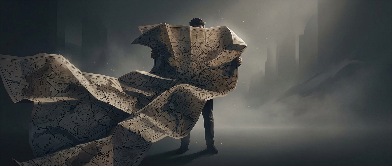
At a busy junction, several streets meet at once, signs may be partly hidden, and traffic keeps moving around you. The map may also show more area than you need, so finding your block can mean tracing a street through a dense web of lines. Unfolding a large sheet is part of the puzzle: it can cover nearby details while making the map harder to turn or hold steady.
Digital maps reduce some of that friction by marking your location and, on many devices, indicating which way you’re facing. A paper map leaves those steps to you. The telltale pause at the corner is not just about finding the right street; it’s the moment of translating a flat drawing into the directions and landmarks in front of you.