How Taal’s volcanic landscape became a set of nested islands
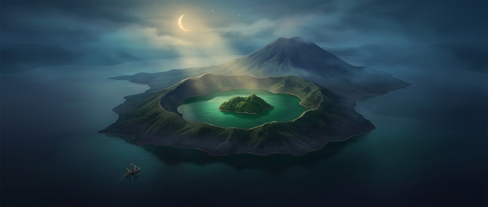
Vulcan Point’s unusual location is the result of eruptions building new land inside an older volcanic basin. Taal Lake occupies a broad depression formed by past volcanic activity. Within the lake, repeated eruptions built Volcano Island, a volcanic landmass with its own crater and crater lake. Vulcan Point is a small piece of land within that inner lake.
The sequence runs from largest to smallest: Luzon, Taal Lake, Volcano Island, its crater lake, and Vulcan Point. Each smaller feature sits inside the next larger one.
A landscape made by overlapping eruptions
A caldera is a large basin created when a volcano erupts and the ground above its emptied magma chamber collapses. Later eruptions can reshape that basin, fill parts of it with water, and build new volcanic cones within it. Taal’s landscape reflects this layering: the lake occupies the older basin, while Volcano Island and its crater are products of activity within that basin.
That is why the nesting is more than a cartographic trick. The islands and lakes mark different stages of volcanic construction and collapse, compressed into one view. A small point of land can sit at the center of a much larger geological story.