
A closer look
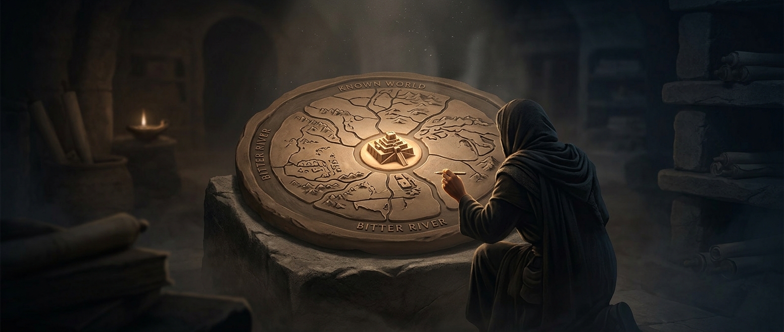
If you've ever thought your local politicians were too self-important, look at the Imago Mundi, a 6th-century BC clay tablet representing the Babylonian Map of the World. Instead of attempting geographic accuracy, the Babylonians drew a massive circle, slapped Babylon dead in the center, and reduced their rival empires to tiny specks on the periphery. Beyond the ocean, they mapped bizarre mythological realms populated by scorpion-men and giant sea beasts, mostly to emphasize that leaving Babylon was a terrible idea. It's the oldest surviving map of the known world, and it functions entirely as a piece of blatantly arrogant, geographically inaccurate municipal propaganda.